Know your site before you break ground.
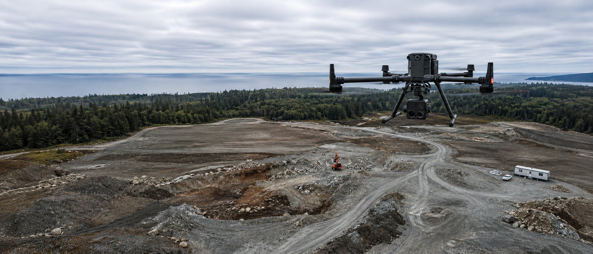
Survey-grade aerial data across Vancouver Island and British Columbia, flown by a commercial helicopter pilot with two decades of rotary-wing experience. RTK ground control on every flight, and deliverables in the formats your engineers, surveyors and GIS team already open.
Six ways we get called in
Most clients come to us with a decision to make and no reliable data to make it on. A quantity to verify, an asset to check without a bucket truck, a site to record before a claim, a model to hand to a designer. Every job below starts with the same question: what will you do with the numbers?
Survey & Mapping
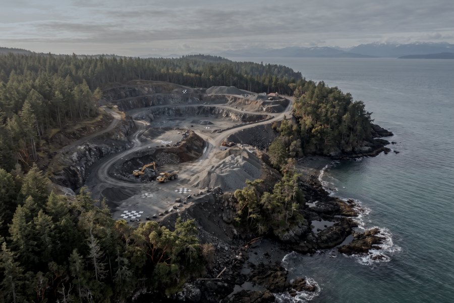
Drone LiDAR, photogrammetry, topographic and corridor mapping, stockpile volumes and bare-earth terrain models, with ground control and a stated accuracy figure on every job.
Six services →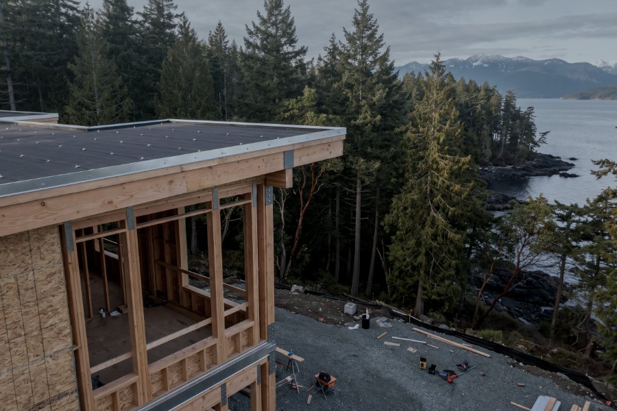
Asset Inspections
Powerline and transmission corridors, substations, structures, building envelopes and roofs. Located, dated visual and thermal evidence, packaged for your engineer to interpret.
Five services →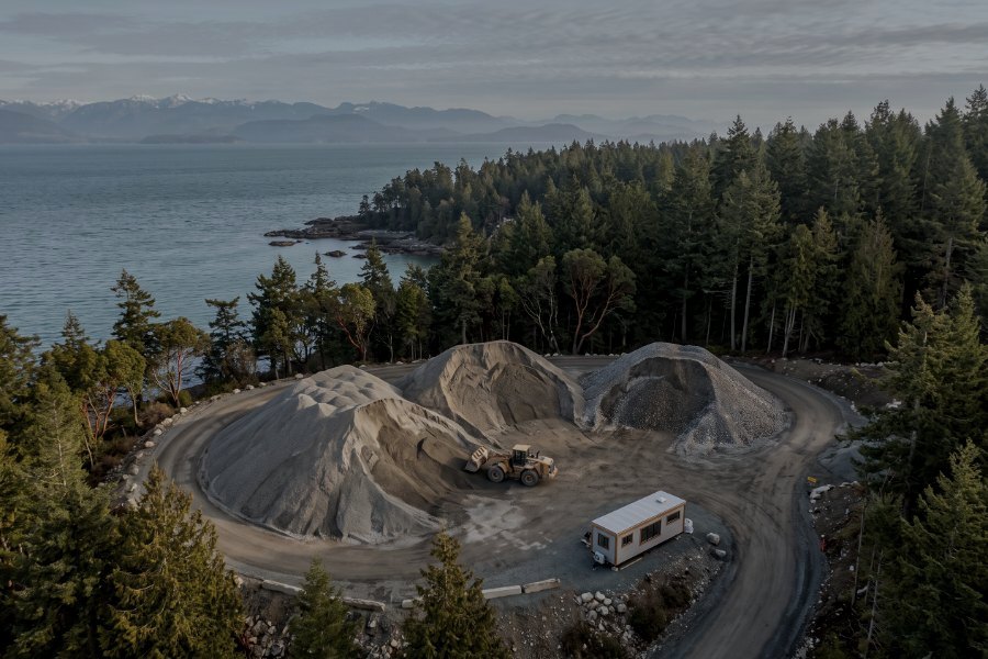
Monitoring & Change Detection
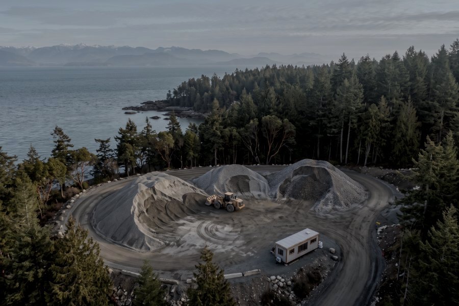
Repeatable flight paths flown to a schedule, so this month compares to last month frame for frame. Construction progress, stockpile drawdown, slope movement, reclamation.
Five services →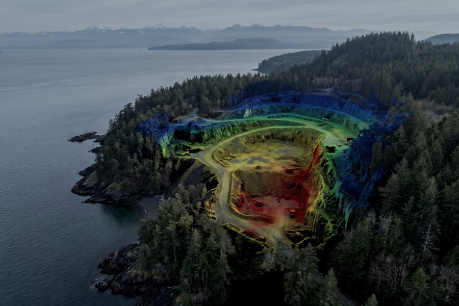
Data Processing & GIS
LiDAR classification, point cloud and mesh production, CAD and BIM-ready deliverables, digital twins. Send us your own captures and we will process them — no flight required.
Four services →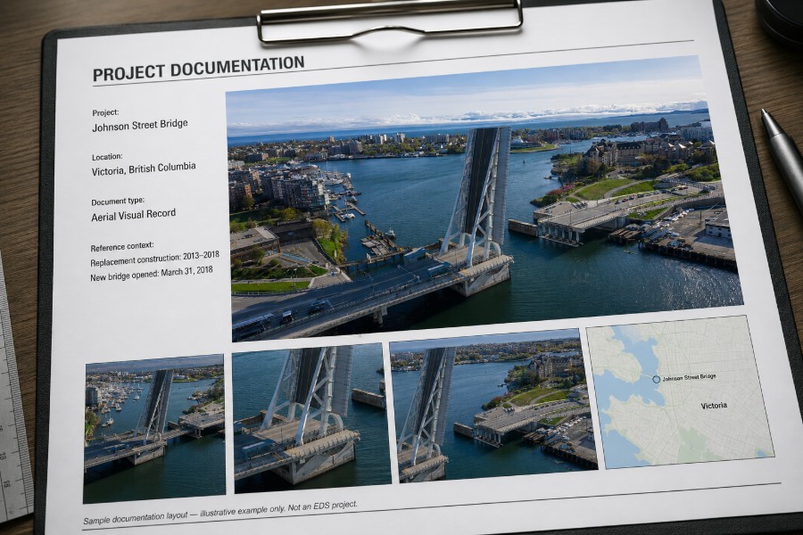
Aerial Media & Documentation
Aerial photography and video: property and development imagery, project and event coverage, production support, and dated evidentiary records. Flown by the same certified crew as the survey work.
Four services →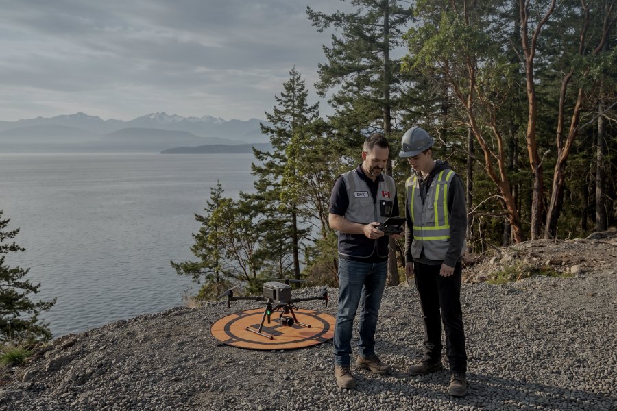
Training & Compliance
Pilot certification support, technical training for in-house crews, and RPAS compliance programs for organisations standing up their own flight operations.
Join the waitlist →Trusted by companies across industries







The cheapest quote is rarely the cheapest job
Anyone can put an aircraft over your site. The difference shows up afterwards — when a quantity is disputed, when an insurer asks who flew it, when your engineer opens the file and finds no control points, or when a client asks whether the operation was authorised for the airspace it happened in.
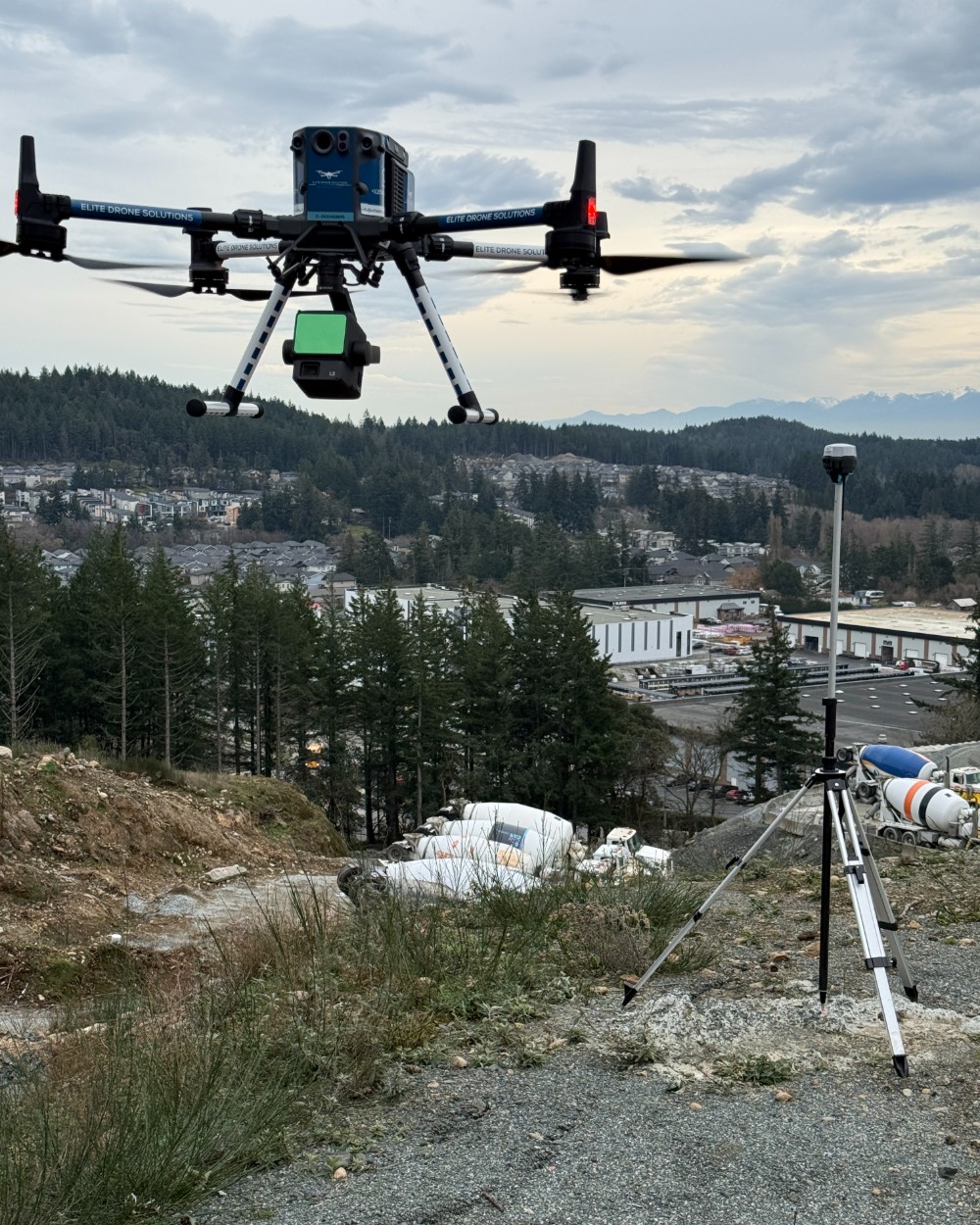
We fly under a Transport Canada Advanced Operations certificate, carry aviation liability insurance, and set ground control on every survey flight so the accuracy figure we quote is a figure we can demonstrate. The deliverables arrive in the formats your team already uses, with a written note of the method and the achieved accuracy.
- Twenty years of commercial rotary-wing experience
- Transport Canada Advanced Operations, licensed pilots
- $5M aviation liability insurance, certificate on request
- RTK-corrected positioning with an on-site base station
- Ground control targets and independent check points on survey work
- Parachute-equipped airframe for operations near people
- Airspace authorisation handled before we mobilise
Survey deliverables are provided for information and planning purposes — not a legal survey. Boundary and legal survey work requires a British Columbia Land Surveyor.
Aviation and geomatics, not one or the other
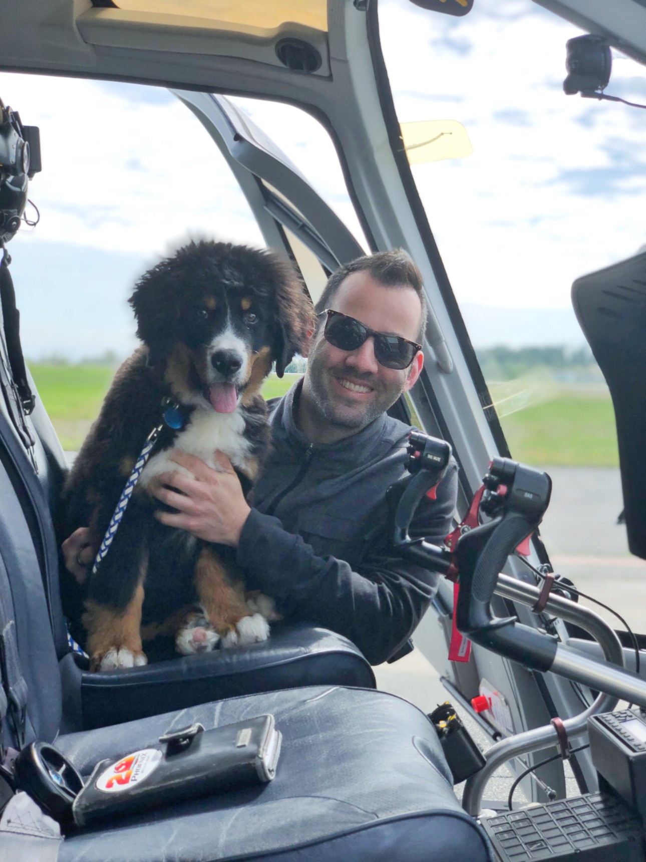
Elite Drone Solutions is run by a commercial helicopter pilot with twenty years of flying behind him, working alongside a geomatics specialist with fifteen years in remote sensing. That pairing is not a biographical detail — it is the reason the operation runs the way it does.
Two decades in commercial aviation teaches a specific set of habits: you plan the flight before you get in it, you brief the weather honestly rather than optimistically, you know what your own limits are and you say no when the day is outside them, and you understand airspace as a working environment rather than as a regulation to look up. Those habits are exactly what separates a survey flight that comes back with usable data from one that has to be re-flown.
It also means the awkward jobs are the normal ones. Confined launch areas, terrain, coastal wind, controlled airspace, and operating over an active site with people and plant moving underneath — that is the environment two decades of helicopter work happens in, and it is the environment most of Vancouver Island's commercially interesting ground sits in.
Most drone firms are one of two things: a pilot who bought a sensor and learned processing from tutorials, or a survey technician who bought an aircraft and learned to fly it adequately. Both leave a gap, and the gap is where unusable data comes from. Here the flying is run by a twenty-year commercial helicopter pilot and the data by a geomatics specialist who spent eight years collecting airborne LiDAR professionally across three continents.
Five steps, no surprises
Most first-time clients have never commissioned a survey flight and are not sure what they are agreeing to. This is the whole sequence.
-
Scope
You tell us the site, the area and what the data is for. We confirm whether a drone is the right tool and what accuracy the job actually needs — sometimes less than you think.
-
Plan & authorise
Flight plan, airspace check, and any Transport Canada or NAV CANADA authorisation. Near YYJ, YCD or YBL this is not optional and it is our job, not yours.
-
Capture
We set ground control, fly the planned mission, and verify coverage and quality on site before we leave. One mobilisation, no return trips for missed data.
-
Process
Photogrammetric or LiDAR processing, classification, and an accuracy check against independent control points that were not used in the solution.
-
Deliver
Files in your formats, a short method and accuracy note, and a call to walk your team through the data if it is their first time using it.
Trusted on working sites
Elite Drone Solutions has provided us with quality and great service. Their team is easy to work with and very professional. We would definitely recommend them to anyone that is looking for aerial work on Vancouver Island.
I highly recommend Elite Drone Solutions! David is highly skilled, professional and wonderful to work with. He understands what it is I need captured and has excellent communication skills. I am always blown away when I receive the footage /images. His services have helped to elevate my work and be able to exceed my clients expectations.
Elite Drone Solutions has always provided us with an exceptional service and a high quality finished product. Working with Elite Drone Services has really elevated what we have been able to offer our clients who are always impressed with the completed drone work. Easy to book, quick service and great final results means we will always look to Elite Drone Solutions.
We speak your vocabulary, not the sensor's
A forester asks for cutblock mapping. A quarry manager asks for a stockpile number. Both are LiDAR flights, but nobody should have to translate.
Forestry
Cutblock mapping, silviculture survey support, road layout, canopy height models and terrain under canopy. LiDAR sees the ground that photogrammetry cannot.
Forestry services →Construction & Development
Pre-construction topography, monthly progress records, earthworks quantities and as-built verification for contractors and developers across the Island.
Construction services →Mining & Aggregate
Stockpile volumetrics for inventory reconciliation, pit and highwall survey, haul road planning, and reclamation monitoring on quarries and gravel operations.
Mining services →Tell us about the site
Five details — location, area, what the data is for, your timeline and how to reach you — and we can usually quote without a site visit. Our team typically replies within one business day.