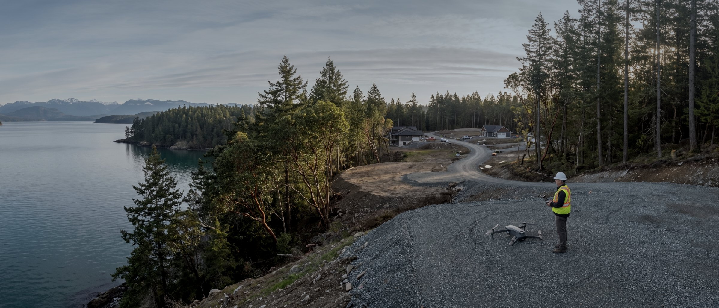
An Elite Drone Solutions pilot in hi-vis and hard hat beside a survey drone on a gravel pad above a Vancouver Island inlet
About

Twenty years in the air. Now measuring the ground.

A commercial drone and remotely piloted aircraft operator based in Victoria, British Columbia, working across Vancouver Island and into the interior — run by a commercial helicopter pilot with twenty years of flying behind him. We collect and process measurement-grade aerial data for the people who have to make decisions with it.

What we actually do

Most of our work sits in one of three places. We measure ground — terrain, volumes, corridors — for people designing or building on it. We inspect assets that are awkward, expensive or unsafe to reach, and hand the evidence to the engineer who has to make a call on it. And we record sites over time, so that what happened is documented rather than remembered.

The aerial photography and video work that the company started with is still here, and it is still good. It is no longer the front door, because the buyers who need survey data and the buyers who need a listing video are looking for entirely different things, and trying to speak to both at once served neither.

How we work with engineers and surveyors

We are not a substitute for a British Columbia Land Surveyor and we do not present ourselves as one. A significant part of our work is supplying terrain and imagery to surveying and engineering firms who then do the part that requires their seal. If your project needs a legal survey, a geotechnical opinion or a structural assessment, we will say so and point you at someone who does it.

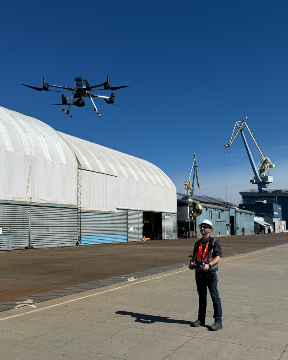
An Elite Drone Solutions pilot in hard hat and hi-vis at the controller on a working shipyard apron, the M350 RTK in the air overhead and gantry cranes behind
TC Advanced Operations $5M insured Victoria, BC
The team

Five people and a dog

A commercial helicopter pilot, a geomatics specialist with fifteen years in remote sensing, a second certified RPA pilot, a CPA running operations, and a Bernese Mountain Dog with no formal qualifications whatsoever.

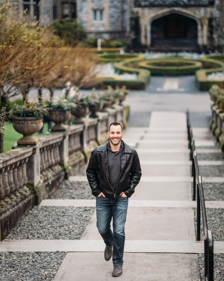
David Olivier, founder and RPA pilot, standing on a garden path at Hatley Castle in Colwood, British Columbia
David Olivier Founder & RPA pilot

Originally from Switzerland, David is a commercial helicopter pilot with more than twenty years and thousands of hours of flying behind him. Two decades of looking at the world from above is the reason the operation runs the way it does: flights planned before they are flown, weather briefed honestly, and limits treated as limits.

He holds a Transport Canada Advanced Operations pilot certificate and Flight Reviewer certification, and flies on jobs across the Island.
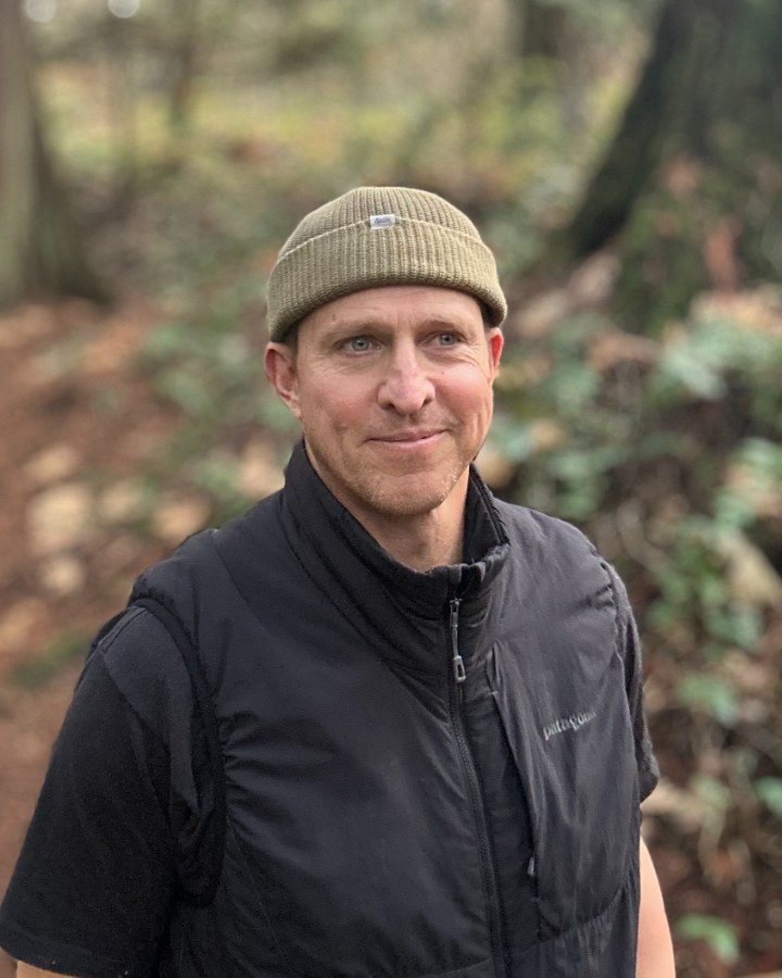
Steve Beffort, geomatics technician and specialist
Steve Beffort Geomatics technician & specialist, BSc

Steve is a geomatics specialist with fifteen years in remote sensing, across field operations, data acquisition and project leadership. Eight of those years were spent as an aerial surveyor working through South, Central and North America, collecting LiDAR and ortho imagery in some genuinely difficult environments.

Most recently he was Operations Manager at a BC remote sensing research institution, overseeing airborne projects, sensor integration and data workflows. He is the reason a deliverable from us arrives in the coordinate system you asked for, classified properly, with an accuracy figure that means something.

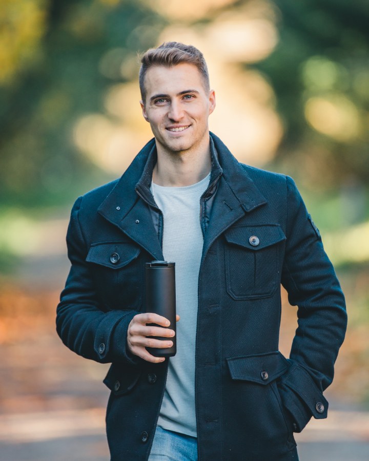
Jonathan Stinner, RPA pilot and camera operator, outdoors in autumn light
Jonathan Stinner RPA pilot & camera operator

Born and raised in Victoria, Jonathan flies and operates camera on inspection, documentation and media work. He is detail-driven to the point of being slightly irritating about it, which is exactly what you want in someone responsible for whether a defect ends up in frame.

He holds a Transport Canada Advanced Operations pilot certificate. Outside flying he works as a personal trainer and wellness coach.

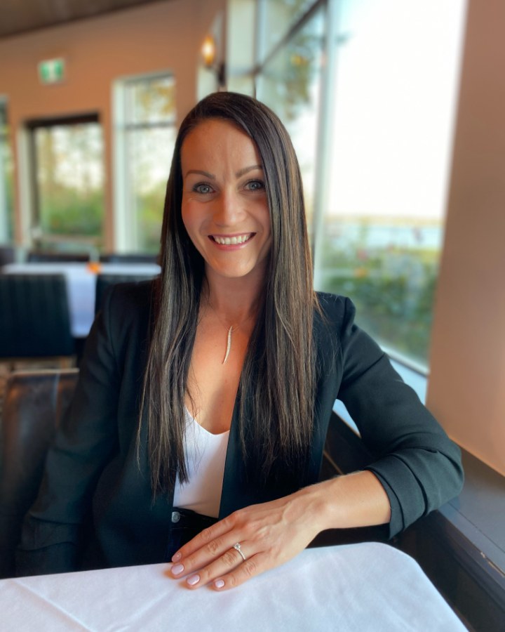
Kristy Strubin, CPA, CFO and operations manager
Kristy Strubin, CPA CFO & operations manager

Born and raised in Victoria, Kristy brings the financial and planning side. A professional accounting designation and a low tolerance for loose ends means the scheduling, the paperwork and the invoicing behave themselves — which matters more to a client than it sounds, because it is why quotes arrive when we said they would.

Outside the office she is a fitness instructor, and she shares the flying habit with David.

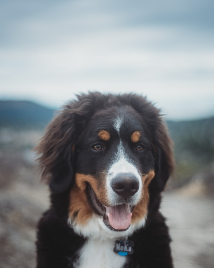
Moka, a Bernese Mountain Dog, on a trail above Victoria with the hills behind
Moka Morale support officer

Moka is a very large Bernese Mountain Dog belonging to David and Kristy. He contributes to the team by way of licks, barks and unshakeable enthusiasm, and holds no certification of any kind.

He is usually in the truck. He will come along for a ride, particularly if there is a treat in it for a hard day's work.

Why this matters to you Aviation plus geomatics, not one or the other

Most drone firms are one of two things. A pilot who bought a sensor and learned processing from tutorials, or a survey technician who bought an aircraft and learned to fly it well enough. Both produce a gap, and the gap is where bad data comes from.

Here the flying is run by a twenty-year commercial helicopter pilot and the data is run by a geomatics specialist who spent eight years collecting airborne LiDAR professionally. That combination is uncommon at this scale on the Island, and it is the single strongest reason to send us a technical job.

Clients

Who we have flown for

Construction, industrial and visualisation clients across the Island, plus media and documentary work.

National Geographic
Spartan Media Group
BDM3d
Butler
Amazon
Slegg Building Materials
Christopher Developments
Velocity Projects
GPG Victoria
Elite Drone Solutions has provided us with quality and great service. Their team is easy to work with and very professional.
BDM3dArchitectural visualization
I highly recommend Elite Drone Solutions! David is highly skilled, professional and wonderful to work with.
Spartan Media Group
Elite Drone Solutions has always provided us with an exceptional service and a high quality finished product.
GPG Victoria
Next step

Tell us about the site

Location, rough area, what the data is for and your timeline. We reply within one business day.