
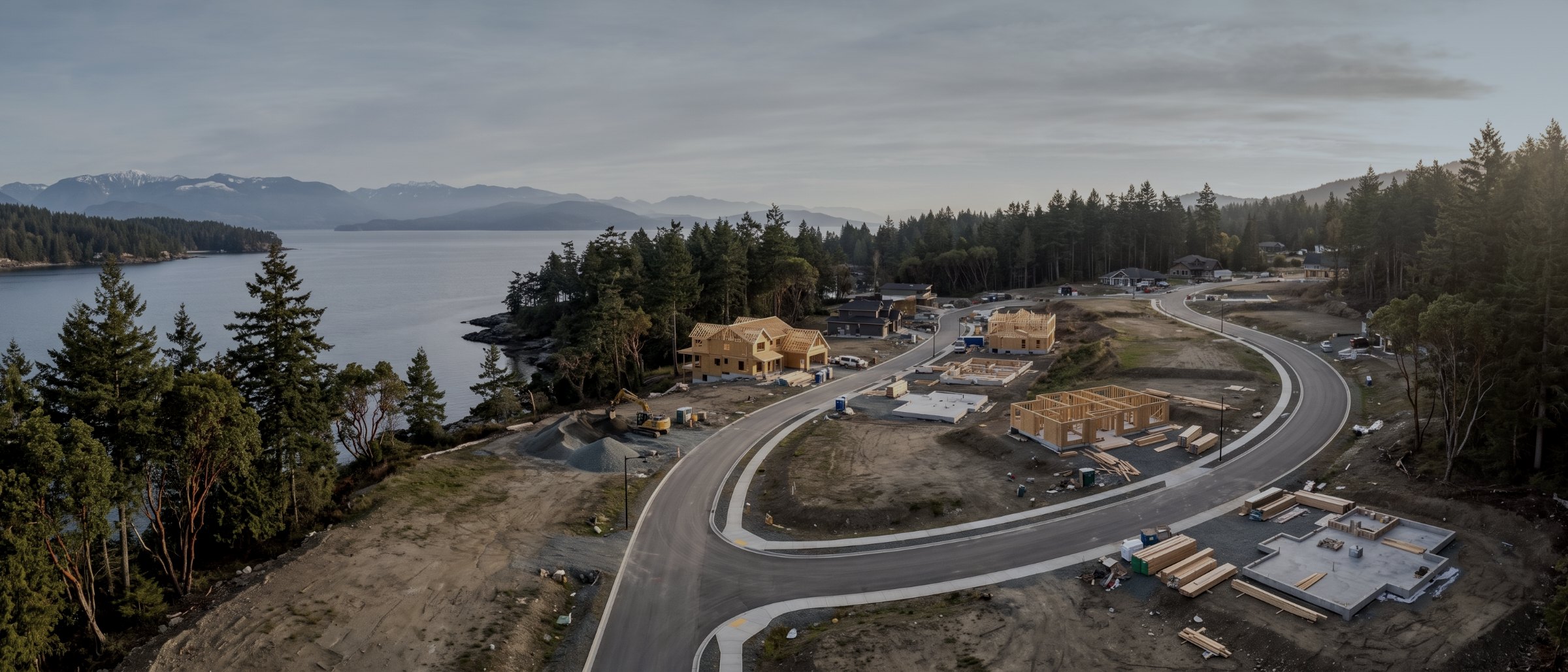
Know the ground. Prove the progress.
Drone survey and monitoring for contractors, developers and owner’s representatives across Vancouver Island. Pre-construction topography, earthworks quantities that support a claim, and a dated monthly record of what actually happened on site.
Three problems, one aircraft
Construction clients come to us with three recurring problems. The first is not knowing the ground well enough before design: an existing-conditions survey that is old, coarse or absent, which turns earthworks estimating into guesswork. The second is quantities: how much material moved this period, and can it be proved. The third is chronology: establishing what was built when, and in what condition, once somebody starts asking.
All three are answered by the same capability. A pre-construction flight gives you the base surface. Repeat flights against it give you volume movement per period. And the imagery from those flights, dated and positioned, is the record that answers the third question years later.
The one thing worth booking early
Fly the site before mobilisation. It costs the same as flying it in month three and it is worth considerably more, because every quantity afterwards is measured against a real surface rather than an assumed one. This is the single most common thing clients wish they had done.
What we fly for construction clients
Pre-construction topographic survey
Existing conditions before design or mobilisation: orthomosaic, surface model and contours at the interval your civil engineer specified, in the project coordinate system. Topographic survey.
Earthworks quantities and progress claims
Cut, fill and net movement between dated surfaces, per claim period. Turns a negotiation into an arithmetic check. Volumetric survey.
Monthly progress records
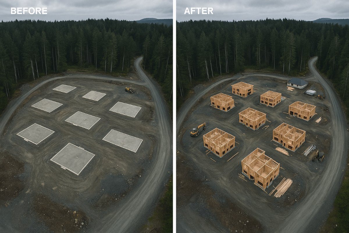
Identical repeat flights producing comparable imagery and surfaces, for owner reporting, lender draws and dispute documentation. Progress monitoring.
As-built verification
Measured comparison of constructed work against design surface, identifying where the built condition departs from the drawing before it is buried.
Roof, envelope and structure inspection
Close-range condition capture during construction and at handover, on surfaces nobody wants to access twice. Aerial inspections.
Marketing and stakeholder imagery
Development imagery for sales, consultation and permitting, flown on the same attendance as the survey work. Aerial media.
Different buyer, different reason
General contractors
Quantities for progress claims, a defensible record against delay and variation arguments, and monthly imagery that goes into an owner report without editing. The claim application is usually where the value first shows up.
Developers and owners
Independent verification of progress and quantities, imagery for lender draws and marketing, and pre-construction survey to inform feasibility before committing to a design.
Civil engineers and consultants
Existing-conditions surfaces delivered into Civil 3D or LandXML, on a turnaround that fits a design programme. Frequently a subcontract arrangement rather than a client relationship. Data and GIS deliverables.
Into the software you already use
| Deliverable | Format | Goes into |
|---|---|---|
| Existing-ground surface | LandXML / DXF / TIN | Civil 3D, 12d, Trimble Business Center |
| Contours | DXF | Any CAD package |
| Orthomosaic | GeoTIFF + PDF | CAD base layer, reports, presentations |
| Volume report | PDF + CSV | Claim applications, cost reporting |
| Point cloud | LAS / LAZ / RCP | Recap, Civil 3D, clash review |
| Progress image set | JPEG, indexed | Owner reports, dispute files |
| Method & accuracy note | Project quality file |
Survey deliverables are provided for information and planning purposes and are not a legal survey. Boundary, legal plan and statutory right-of-way work requires a British Columbia Land Surveyor. Volume figures are measured against a stated base surface. Set-out, boundary work and structural certification remain with your surveyor and engineer.
What your procurement team will ask for
We fly under a Transport Canada Advanced Operations certificate with licensed pilots, which is the level required to operate in controlled airspace and near people. Airspace authorisations are obtained before mobilisation, and the airframe carries a certified parachute for work near occupied areas.
We carry $5M in aviation liability insurance and a certificate is available on request for your project file. WorkSafeBC clearance is available, site safety orientation is completed on arrival, and we work to the host contractor's requirements.
Survey deliverables are provided for information and planning purposes and are not a legal survey. Boundary, legal plan and statutory right-of-way work requires a British Columbia Land Surveyor.
- Transport Canada Advanced Operations certificate
- Licensed pilots, current flight reviews
- $5M aviation liability insurance
- WorkSafeBC clearance letter available
- Certified parachute for operations near people
- Airspace authorisation handled by us
- Written method note on every job
Active development on the Island
Langford & the Westshore
The densest concentration of active residential and commercial construction on the Island.
Victoria & Saanich
Infill, institutional and municipal capital work, largely inside YYJ controlled airspace.
Nanaimo
Industrial, port and commercial development on the central Island.
Construction survey, answered
When in the project should we start flying?
Before mobilisation, ideally. A pre-construction survey captures existing conditions while they are still existing, which gives you a base surface for every earthworks quantity afterwards and a dated record of what the site looked like before anyone touched it. Starting after work begins means every volume from then on is measured against an assumed base rather than a measured one, and the difference shows up in the first claim dispute.
Can drone data settle a quantity dispute?
It can settle the measurement part of one. Two dated surfaces produce a volume difference that is arithmetic rather than opinion, and that removes the argument about how much material moved. What it cannot settle is entitlement — whether the movement was in scope, who authorised it, what it is worth. That is a contractual question. What we supply is the number both sides can agree on.
Do you work for the contractor or the owner?
Both, and we say plainly which on any given project. Contractors typically commission monitoring for claims and progress reporting. Owners and their representatives commission it for independent verification. We do not act for both parties on the same project without both knowing.
How does this fit with our surveyor?
It usually supplements rather than replaces them. Aerial survey is efficient at surfaces and volumes across a whole site; a ground crew is better at specific features, set-out, and anything requiring a professional seal. Several of our construction clients use us for the surface and their surveyor for the detail, which is a cheaper combination than using either for everything.
Is the site disrupted?
Very little. A monitoring flight is a two to four hour attendance, we coordinate exclusion zones with the site supervisor, and we fly around plant movement rather than requiring it to stop. Our Advanced Operations certification and the parachute-equipped airframe are what allow flight over an occupied site at all.
What about a site next to the airport?
Much of the commercially active ground in Greater Victoria and around Nanaimo sits in controlled airspace, and flight there requires Advanced certification plus a NAV CANADA authorisation. We handle that authorisation as part of the job. An operator without Advanced certification either cannot fly your site or is flying it without the clearance they need, and that becomes your exposure rather than theirs.
Tell us about the site
Location, rough area, what the data is for and your timeline. That is usually enough to quote without a site visit, and our team typically replies within one business day.
We supply measurement and documentation. Set-out, boundary determination and structural certification remain with your surveyor and engineer, and we will say so rather than working around it.