
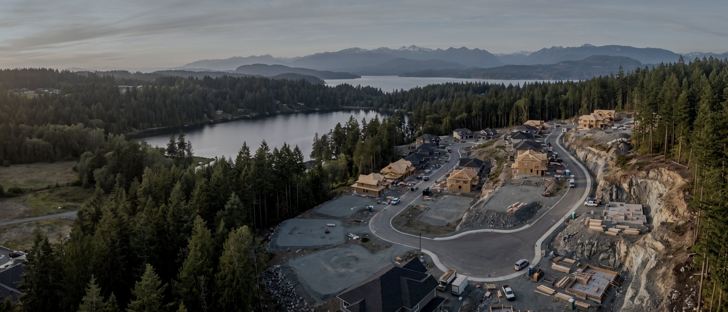
Drone survey and mapping in Langford and the Westshore
The Westshore carries the densest concentration of active construction on Vancouver Island. Pre-construction topography, earthworks quantities and monthly progress records for the contractors and developers building it.
What we fly in Langford & the Westshore
Drone LiDAR Survey
Bare-earth terrain under canopy, classified point clouds, contours.
View →Mapping & Photogrammetry
Orthomosaics and surface models at 3cm absolute accuracy.
View →Topographic Survey
Contours and spot elevations for design and permitting.
View →Volumetric & Stockpile
Measured quantities for inventory and earthworks.
View →Aerial Inspections
Roofs, structures and envelopes without scaffolding.
View →Construction Monitoring
Identical repeat flights, month after month.
View →Flying here, specifically
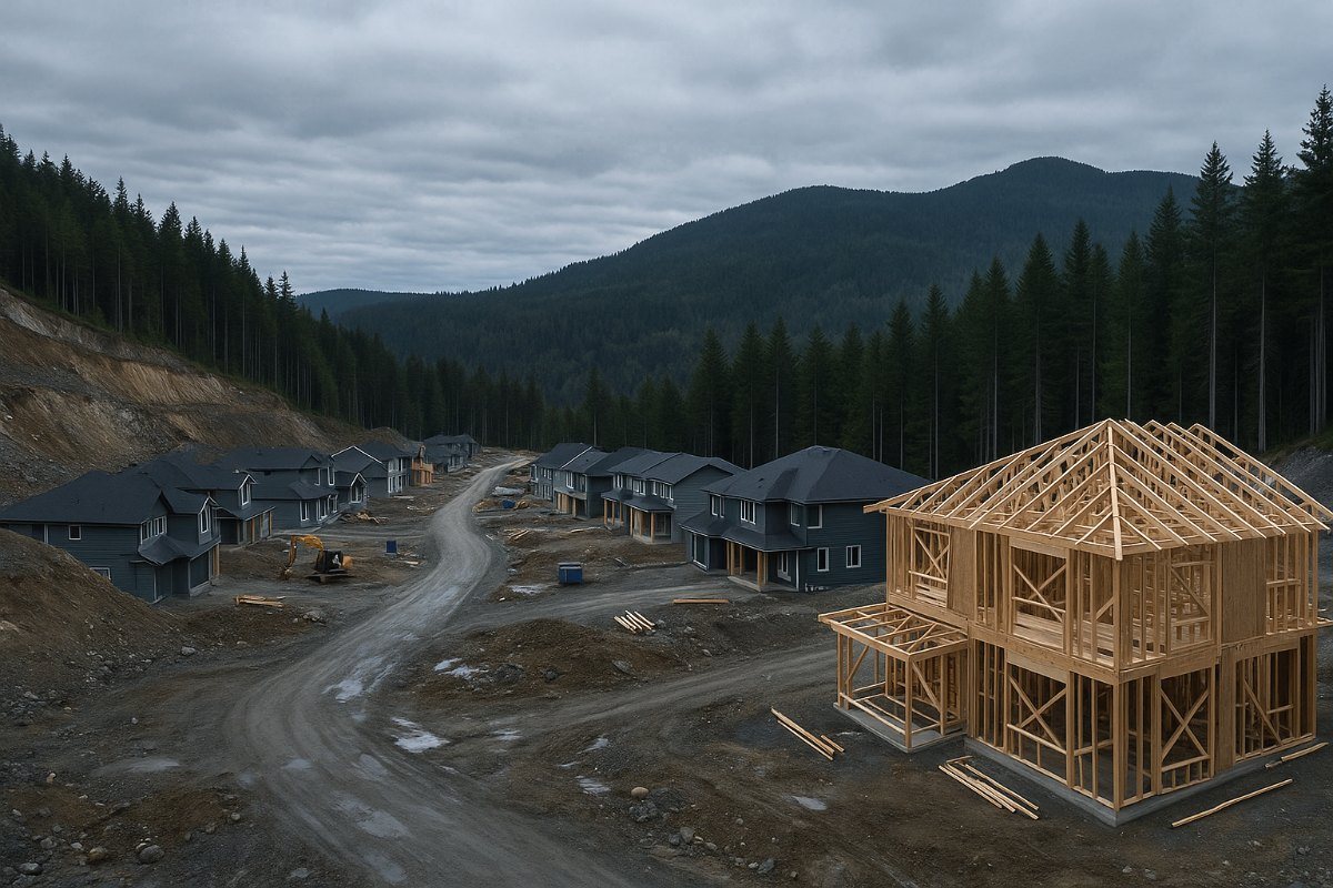
Langford, Colwood, View Royal and the Highlands have been the fastest-growing part of the region for a decade, and the work reflects it: subdivision earthworks, multi-family and mid-rise construction, road and servicing projects, and the parcels being cleared for whatever comes next.
That means most of what we fly here is either a pre-construction survey or a monitoring programme. The pattern worth knowing is that the sites are frequently sloped and partly treed before clearing, which changes the method: photogrammetry cannot measure ground under standing timber, so a pre-clearing survey on a treed parcel needs LiDAR, while the same site after clearing is straightforward photogrammetry at lower cost.
Airspace here is generally more permissive than the Saanich Peninsula, sitting outside the YYJ control zone across much of the Westshore, though proximity to it varies by location and is checked per site. Terrain and tree cover affect visual line of sight more than airspace does.
Mobilisation
Twenty to thirty minutes from base. No travel charge — the Westshore is inside the Capital Regional District. Monitoring programmes here are frequently scheduled back to back with other Westshore sites on the same day.
Langford & the Westshore, answered
We are clearing a treed parcel. When should you fly?
Ideally twice, and the two flights are different jobs. Before clearing, LiDAR is the only method that measures ground under standing timber, and that pre-clearing surface is what your earthworks quantities should be based on. After clearing, photogrammetry gives you a cheaper and more accurate surface of the exposed ground. Clients who fly only after clearing lose the ability to quantify what was removed.
Do you cover Colwood, View Royal and the Highlands?
Yes, along with Metchosin and Sooke. All are inside or adjacent to the Capital Regional District and carry no mobilisation charge from our Victoria base.
Can you monitor several Westshore sites in one day?
Often, and it reduces the cost per site. If you have more than one active project in the area, tell us and we will schedule them on the same attendance where flight windows allow.
Is the Westshore inside controlled airspace?
Much of it sits outside the YYJ control zone, which makes authorisation simpler than on the Saanich Peninsula. Proximity varies by location and we check every site rather than assuming.
Adjacent communities
Victoria & Saanich
Our base. Infill, institutional and municipal capital work.
Duncan & Cowichan
Forestry and aggregate operations up the Malahat.
Nanaimo
Industrial and port work on the central Island.
What your procurement team will ask for
We fly under a Transport Canada Advanced Operations certificate with licensed pilots, which is the level required to operate in controlled airspace and near people. Airspace authorisations are obtained before mobilisation, and the airframe carries a certified parachute for work near occupied areas.
We carry $5M in aviation liability insurance and a certificate is available on request for your project file. WorkSafeBC clearance is available, site safety orientation is completed on arrival, and we work to the host contractor's requirements.
Survey deliverables are provided for information and planning purposes and are not a legal survey. Boundary, legal plan and statutory right-of-way work requires a British Columbia Land Surveyor.
- Transport Canada Advanced Operations certificate
- Licensed pilots, current flight reviews
- $5M aviation liability insurance
- WorkSafeBC clearance letter available
- Certified parachute for operations near people
- Airspace authorisation handled by us
- Written method note on every job
Tell us about the site
Location, rough area, what the data is for and your timeline. That is usually enough to quote without a site visit, and our team typically replies within one business day.
Travel beyond the Capital Regional District is quoted at cost and stated up front, so mobilisation is never a surprise on the invoice.