
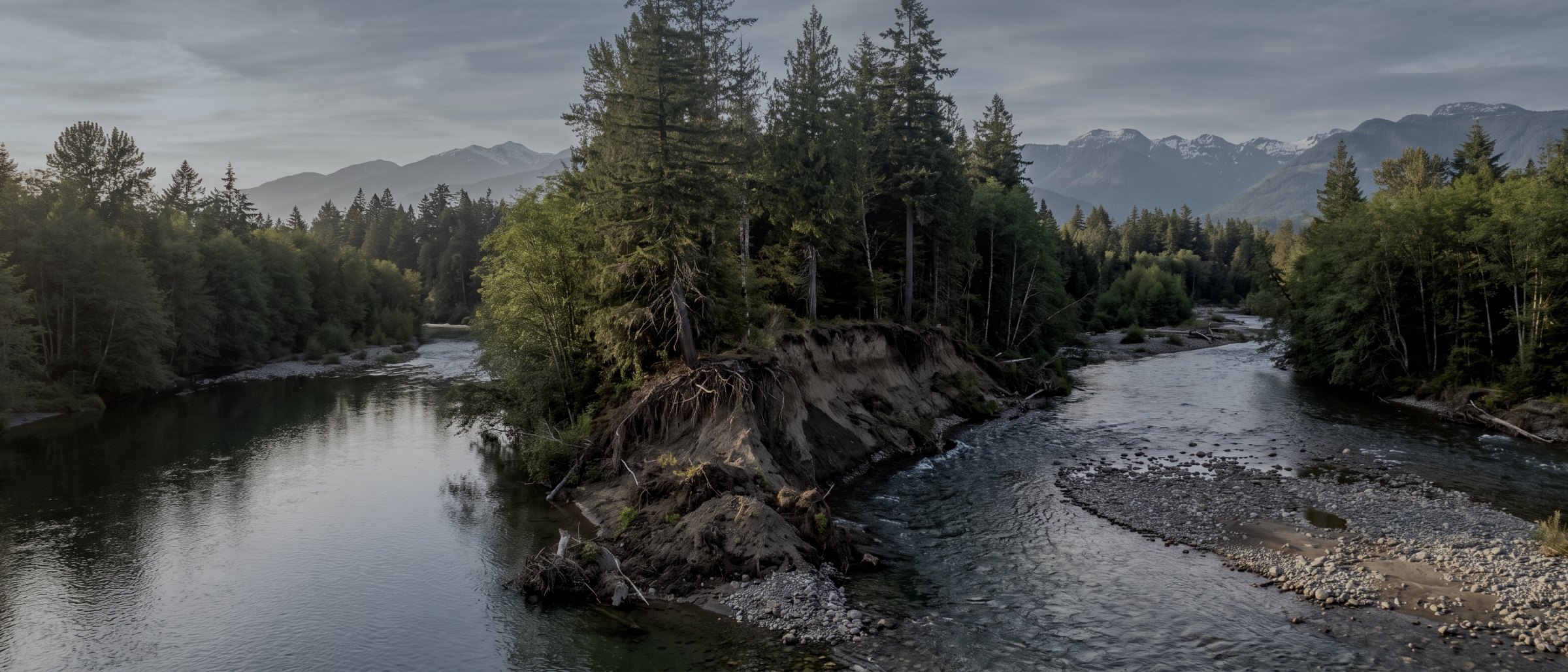
Measure the change, not the impression.
Shorelines retreat, streambanks fail, slopes move and vegetation returns — all of it slowly enough that nobody notices between visits. Repeat aerial capture over the same ground, flown to the same control, turns that into a number you can put in a report.
Why change is the deliverable
British Columbia is doing more environmental measurement than it has ever done, and most of the change being measured is too slow to see and too fast to ignore. Atmospheric river events cut new channels through ground that was stable for decades. Coastal bluffs retreat a metre at a time. Slopes released by fire move for years afterward. In every one of those cases the question is not what the site looks like — it is how much it moved, and since when.
A single flight cannot answer that. Two flights over the same extent, flown to the same ground control and processed to the same specification, can: the surfaces subtract, and what is left is a volume, an area and a rate. That comparison is the product. It is also the thing that survives a permit review, because the method is repeatable and the residuals are stated.
This is where drone survey is genuinely better than the alternative rather than merely cheaper. Ground crews cannot walk an unstable bank safely, cannot cover a whole foreshore in a tide window, and cannot produce a surface dense enough to detect a five-centimetre change. Fixed-wing and satellite can cover the area but not at the resolution the change occurs at.
What we fly for environmental clients
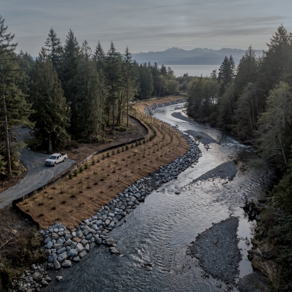
Habitat & watercourse mapping
Channel alignment, bank position, riparian extent, wetted width and the vegetation buffer either side, captured at a resolution where individual features are identifiable. Orthomosaics for interpretation and a terrain model for the hydrology, delivered into the GIS your assessment already runs in.
Erosion & site change survey
Repeat capture over a fixed extent with consistent control, differenced surface to surface. Bank retreat, gully development, foreshore loss, slope movement and sediment deposition come back as measured volumes and areas with a date on each capture, not as a narrative.
Spill & incident documentation
Rapid mobilisation for extent capture while conditions still show it. Georeferenced, time-stamped imagery of the affected area, the boundary of visible impact, and access conditions for the response — the record that regulators, insurers and your own review will all want and that nobody can reconstruct later.
Revegetation & disturbance extent
Area of disturbance, area of cover returning, and multispectral indication of vegetation vigour where the sensor supports it. Useful for permit-condition reporting where the condition is written as an area or a percentage rather than an opinion.
Terrain for drainage and hydrology
Bare-earth surfaces under vegetation from LiDAR, so flow paths, catchments and low points are derived from ground rather than canopy. The input your hydrologist needs before modelling anything.
Pre- and post-event capture
Ground flown before a season, a freshet or a planned works programme, and flown again after. The comparison is only possible if the first flight happened, which is the entire argument for a baseline.
Flying environmental ground on the Island
Vegetation and canopy
Riparian corridors are the hardest ground on the Island: dense overhang, deep shade and wet understory. Photogrammetry will map the canopy; LiDAR is what gets you the bank underneath it. We will tell you which the site needs before quoting rather than selling you the cheaper one.
Tide, season and water level
Foreshore and intertidal work is a tide window, not a day. Watercourse capture is comparable only if the water level is comparable, so repeat flights are matched to stage or season rather than to convenience. Both constraints go in the flight plan.
Access and sensitivity
Much of this ground is sensitive, remote or both. Aerial capture means no crew walking an unstable bank, no trampling of the vegetation being assessed, and no vehicle access needed to ground that should not carry one.
What an environmental job returns
| Deliverable | Format | What it answers |
|---|---|---|
| Orthomosaic | GeoTIFF | What the site looks like, to scale, on a date |
| Bare-earth terrain model | LandXML / DXF / GeoTIFF | Slope, flow path, catchment and low point |
| Surface difference | GeoTIFF / PDF plan | How much moved, and where |
| Volume & area report | PDF / CSV | Loss, gain and rate between captures |
| Feature linework | SHP / GeoJSON / DWG | Bank, channel, wetted edge, disturbance boundary |
| Time-stamped imagery set | JPG with EXIF / GeoTIFF | Condition of record for a given date |
| Method note | How it was flown, controlled and checked |
| Typical accuracy | 3cm horizontal, 5cm vertical |
|---|---|
| Verified against | Independent check points |
| Repeat capture | Same control, same extent |
| Change detection floor | Approximately 5cm with control |
| Incident mobilisation | Within 24–48 hours where airspace allows |
| Coordinate system | NAD83(CSRS) / CGVD2013 |
| Turnaround | 3–5 business days |
Survey deliverables are provided for information and planning purposes and are not a legal survey. Boundary, legal plan and statutory right-of-way work requires a British Columbia Land Surveyor. We supply data and documentation; engineering and geoscience interpretation is reserved practice and belongs to a registrant of Engineers and Geoscientists BC.
What your procurement team will ask for
We fly under a Transport Canada Advanced Operations certificate with licensed pilots, which is the level required to operate in controlled airspace and near people. Airspace authorisations are obtained before mobilisation, and the airframe carries a certified parachute for work near occupied areas.
We carry $5M in aviation liability insurance and a certificate is available on request for your project file. WorkSafeBC clearance is available, site safety orientation is completed on arrival, and we work to the host contractor's requirements.
Survey deliverables are provided for information and planning purposes and are not a legal survey. Boundary, legal plan and statutory right-of-way work requires a British Columbia Land Surveyor. We supply data and documentation; engineering and geoscience interpretation is reserved practice and belongs to a registrant of Engineers and Geoscientists BC.
- Transport Canada Advanced Operations certificate
- Licensed pilots, current flight reviews
- $5M aviation liability insurance
- WorkSafeBC clearance letter available
- Repeat captures flown to the same control
- Datum, epoch and geoid stated on every deliverable
- Written method note on every job
Environmental survey, answered
How small a change can you actually detect?
With ground control and independent check points on both captures, changes of roughly five centimetres in elevation are detectable with confidence across open ground. Under vegetation the floor rises, and on a bank where the surface itself is loose it rises further. We state the detection threshold for the specific site rather than quoting a single number, because a figure that is honest on a gravel bar is not honest under salal.
We have no baseline. Is it too late?
No, but the first capture then becomes the baseline and the comparison starts from today. Historical aerial imagery and provincial LiDAR can sometimes provide a rough earlier surface for a first-order comparison, and we will tell you whether the available data is good enough to be worth differencing. It usually gives you a direction and a rough magnitude, not a defensible volume.
Can you produce the assessment as well as the data?
No. Environmental and geoscience assessment is reserved practice in British Columbia and belongs to a qualified professional. What we do is supply the measurement your QEP, hydrologist or engineer builds the assessment on, in the format they work in, with the method documented so their conclusion is defensible. Several of our clients are consultancies who use us exactly this way.
How fast can you fly an incident?
Usually within twenty-four to forty-eight hours anywhere on Vancouver Island, subject to airspace and weather. If the site is in controlled airspace the authorisation is the constraint rather than the travel. Call rather than emailing if the extent is changing — documentation of a spill or a failure is worth far more captured on day one than reconstructed on day ten.
Do you fly multispectral?
Not as standard. Vegetation extent, cover and disturbance boundaries come from high-resolution RGB, which is sufficient for most permit-condition reporting. Where a programme genuinely requires vigour indices we will say so at scoping and arrange the sensor rather than implying RGB can do it.
Tell us about the site
Location, rough area, what the data has to support and your timeline. That is usually enough to quote without a site visit, and our team typically replies within one business day.
If a site needs a ground crew, a hydrologist or a professional sign-off rather than a flight, we will tell you that at scoping.