
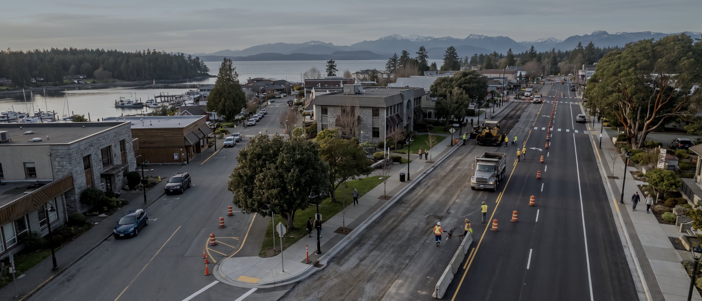
Public works, on the public record.
Roads, parks, foreshore, landfill, utilities and every capital project in between. Aerial survey and documentation scoped to a municipal budget cycle, delivered with the method note your engineering department and your auditor will both ask for.
Why municipalities are an easy fit
A municipality already owns everything a drone survey measures. Road network, drainage, parks, foreshore, landfill cells, water and sewer corridors, and a capital plan that touches some subset of them every year. What is usually missing is a current, measured record of any of it, because the last survey was commissioned for a specific project and expired with it.
The work also fits how public bodies buy. A defined extent, a fixed price, a stated method and a deliverable that goes into the GIS the department already runs. No mobilisation of a survey crew for a week, no traffic management plan for a road that only needed measuring, and a record that supports the next three projects rather than one.
And the documentation has a second life. A dated, georeferenced aerial record of a capital project is the thing that settles a progress claim, answers a council question, supports a grant report and closes out a contract. It is the cheapest defensible evidence a public works department can hold.
What we fly for public bodies
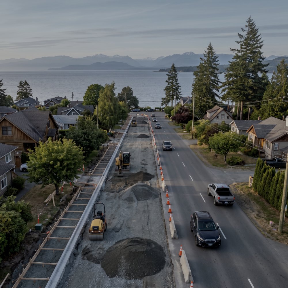
Capital project documentation
Dated aerial record of a project from pre-construction through to as-built, at a cadence you set. Progress claims, council reporting, grant conditions and contract close-out all draw on the same set of flights. Detail on construction monitoring.
Road, drainage & corridor survey
Topographic survey of road corridors, ditches, culvert inverts and right-of-way for rehabilitation design, without closing a lane or standing a crew in live traffic. See topographic survey.
Parks, trails & foreshore mapping
Current orthomosaic and terrain for park planning, trail alignment, foreshore condition and public consultation material. One flight serves planning, engineering and communications.
Landfill & yard volumetrics
Airspace consumed, remaining capacity, cover material stockpiles and yard inventory, measured to a repeatable method for annual reporting. See volumetric survey.
Asset & structure condition record
Roofs, bridges, reservoirs, water towers and other structures documented from the air, giving your asset management system a dated visual baseline. See aerial inspections.
Emergency & event documentation
Rapid capture of storm damage, slope failure, flooding extent or fire aftermath, for response coordination and for the recovery funding claim afterwards. See emergency response.
Flying municipal ground
Controlled airspace
Most Island municipalities sit under controlled airspace or near an aerodrome. Our Advanced Operations certificate is the level required to operate there, and we obtain the airspace authorisation before mobilisation rather than discovering the problem on site.
People and property
Municipal ground has the public on it. Operations near people are flown under Advanced Operations with a certified parachute fitted, extents and timing agreed with your staff, and public notification where the site warrants it.
Records and privacy
Deliverables are captured for a stated purpose and handed to you. We do not retain or reuse municipal imagery beyond the retention period you specify, which matters when the record may become subject to an information request.
What a municipal job returns
| Deliverable | Format | What it answers |
|---|---|---|
| Orthomosaic | GeoTIFF | Current condition, to scale, on a date |
| Terrain model & contours | LandXML / DXF / TIN | Grade, drainage and design surface |
| Volume report | PDF / CSV | Airspace, capacity, stockpile and earthworks |
| GIS layer package | SHP / GeoJSON | Straight into the department’s GIS |
| Progress record set | JPG with EXIF / PDF | What was built, when |
| Structure image set | JPG with EXIF | Dated condition baseline per asset |
| Method note | How it was flown, controlled and checked |
| Typical accuracy | 3cm horizontal, 5cm vertical |
|---|---|
| Verified against | Independent check points |
| Airspace authorisation | Handled by us |
| Operations near people | Advanced, parachute fitted |
| Coordinate system | Your municipal grid or NAD83(CSRS) |
| Procurement | Fixed price, PO accepted |
| Turnaround | 3–5 business days |
Survey deliverables are provided for information and planning purposes and are not a legal survey. Boundary, legal plan and statutory right-of-way work requires a British Columbia Land Surveyor. We supply data and documentation; engineering and geoscience interpretation is reserved practice and belongs to a registrant of Engineers and Geoscientists BC.
What your procurement team will ask for
We fly under a Transport Canada Advanced Operations certificate with licensed pilots, which is the level required to operate in controlled airspace and near people. Airspace authorisations are obtained before mobilisation, and the airframe carries a certified parachute for work near occupied areas.
We carry $5M in aviation liability insurance and a certificate is available on request for your project file. WorkSafeBC clearance is available, site safety orientation is completed on arrival, and we work to the host contractor's requirements.
Survey deliverables are provided for information and planning purposes and are not a legal survey. Boundary, legal plan and statutory right-of-way work requires a British Columbia Land Surveyor. We supply data and documentation; engineering and geoscience interpretation is reserved practice and belongs to a registrant of Engineers and Geoscientists BC.
- Transport Canada Advanced Operations certificate
- Licensed pilots, current flight reviews
- $5M aviation liability insurance
- WorkSafeBC clearance letter available
- Certified parachute for operations near people
- Airspace authorisation obtained before mobilisation
- Fixed-price quote suitable for a budget submission
Municipal survey, answered
Can this replace a legal survey?
No, and the distinction matters more for a municipality than for anyone else. Topographic surfaces, volumes, orthomosaics and condition records are all fine. Anything that certifies a position relative to a property boundary — a building location certificate, a setback certificate, a plan for registration — is the exclusive work of a British Columbia Land Surveyor under the Land Surveyors Act. We work alongside BCLS firms rather than around them.
Will the data come into our GIS?
Yes, and it is worth telling us which system at scoping. Deliverables go out as GeoTIFF, shapefile or GeoJSON in your municipal grid and datum, so a layer drops into the department’s existing project rather than requiring a conversion step. If your grid is a local one, send the definition and we will work in it.
How do you handle privacy and information requests?
Imagery is captured for a stated purpose, delivered to you, and retained on our side only for the period you specify. Because a municipal record can become subject to a freedom of information request, we keep the method note and capture metadata with the deliverable, so the provenance of an image is documented if it is ever asked about.
Do you need airspace approval near the airport?
Usually yes, and we obtain it. Advanced Operations certification is what permits flight in controlled airspace, and the authorisation for a specific site and window is applied for before mobilisation. It is a scheduling input rather than an obstacle, but it is a reason to give us a few days’ notice rather than a few hours.
Can you quote a programme rather than a single flight?
Yes, and it is usually the better value. Several projects flown in one mobilisation, or one site flown on a fixed cadence, costs considerably less per flight than separate call-outs and produces a comparable set of surfaces because the control is consistent. Tell us the capital plan and we will price it as a programme.
Tell us about the site
Location, rough area, what the data has to support and your timeline. That is usually enough to quote without a site visit, and our team typically replies within one business day.
If a project needs a BCLS, a geotechnical engineer or a ground crew rather than a flight, we will tell you that at scoping.