
Measure the clearance. Do not estimate it.
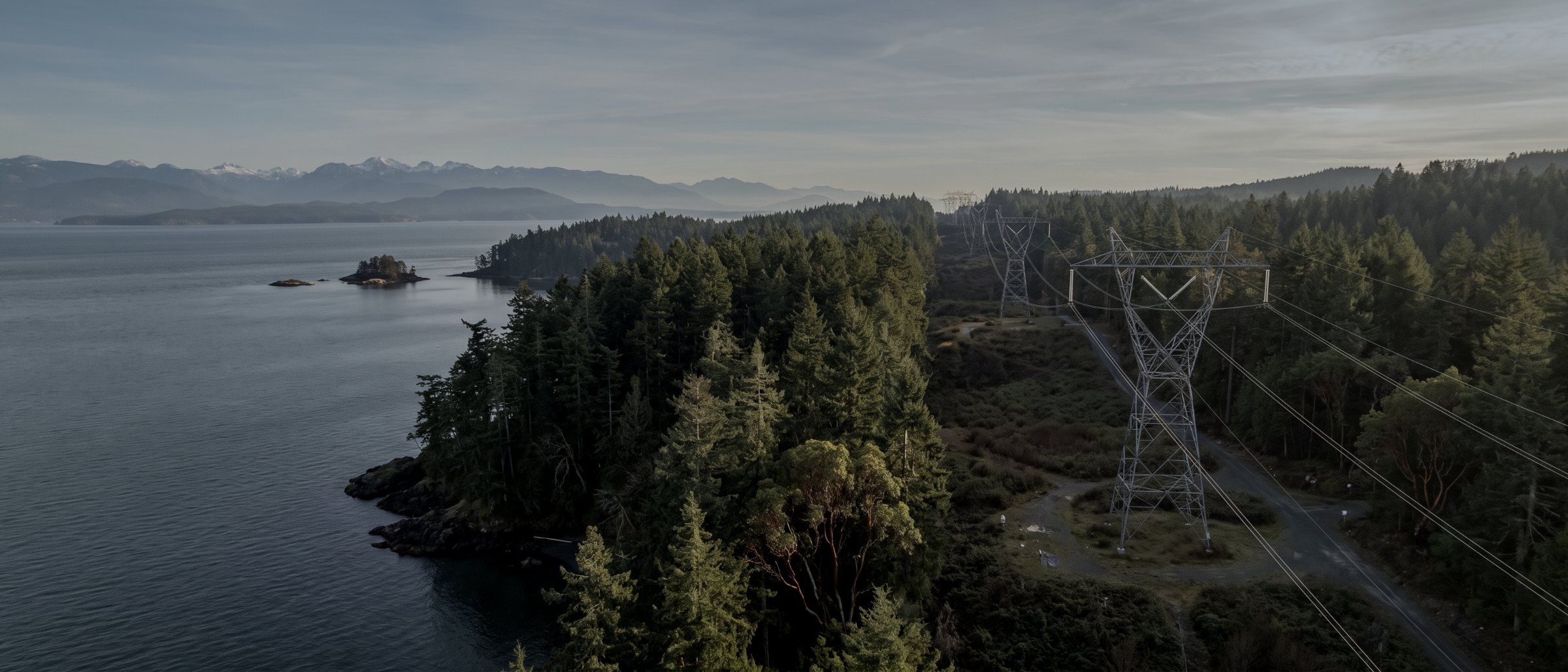
Drone inspection of transmission and distribution corridors across Vancouver Island. Structure and hardware condition at close range, and vegetation clearance computed from a classified point cloud rather than judged from a photograph.
Two jobs on one flight
A corridor inspection answers two different questions. The first is condition: what state are the structures, conductors, insulators and hardware in. That needs high-resolution imagery at close range from angles a ground patrol cannot reach, particularly on crossarms and terminations where deterioration concentrates and nobody can see it from a truck.
The second is clearance: how close is the vegetation to the conductor. This is where most corridor inspection goes wrong, because clearance is a three-dimensional distance and a photograph is two-dimensional. Judging it by eye from an image systematically underestimates encroachment. Measuring it from a classified point cloud, where the conductor and the vegetation surface are both recorded as geometry, produces a number instead of an impression.
Why a drone rather than a helicopter
Manned patrol makes sense over hundreds of kilometres. Below that, on Vancouver Island’s terrain, a drone flies lower and slower, resolves detail a helicopter pass cannot, costs a fraction to mobilise, and can be on a corridor the week you call. It also does not put a crew in the air.
What we capture
Structure and hardware condition
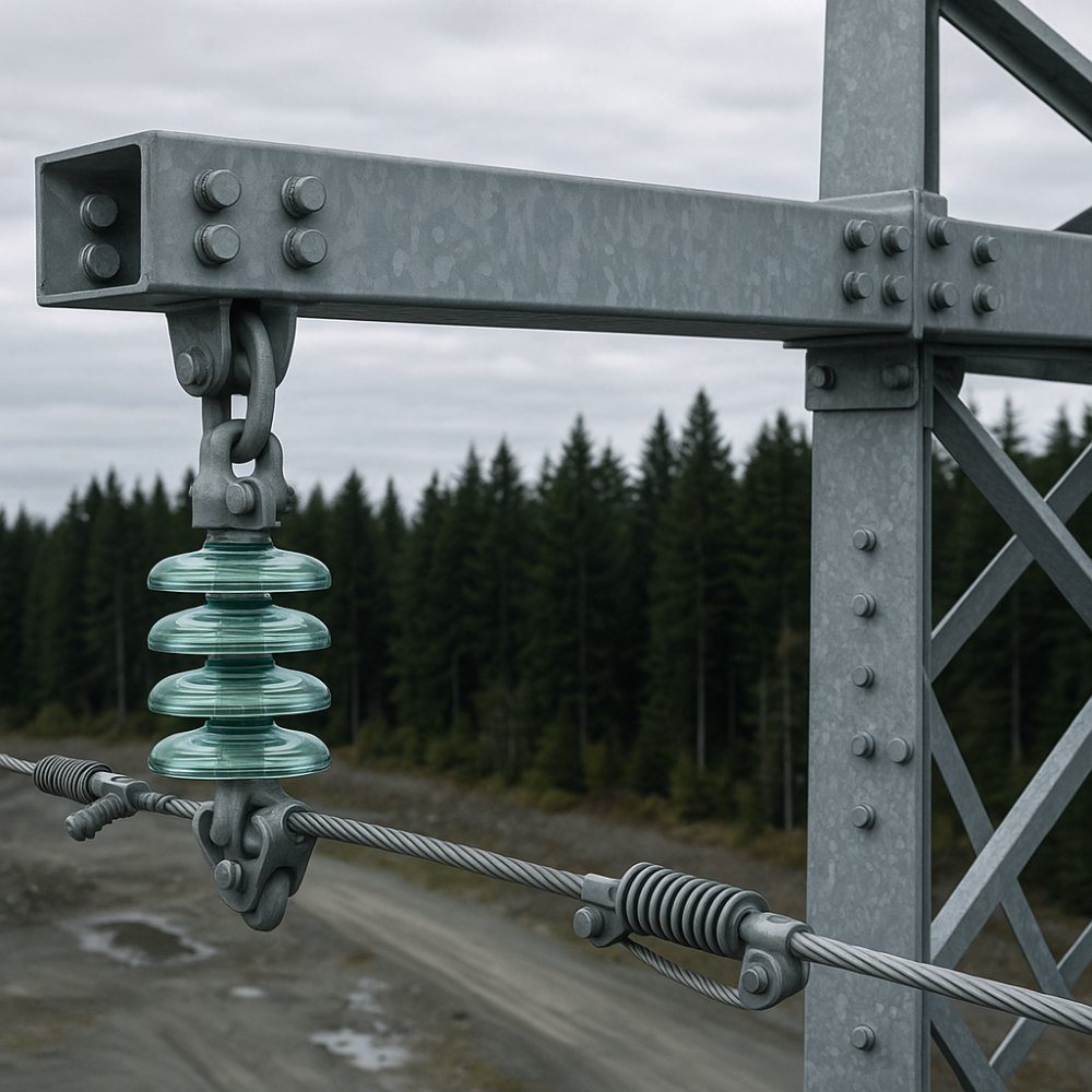
Steel and wood structure condition, coatings, insulators, dampers, terminations and connection hardware, imaged close and indexed to structure number.
Vegetation encroachment
Clearance computed between conductor and vegetation surface from classified LiDAR, reported per span so a cutting programme can be prioritised rather than applied uniformly. See LiDAR survey.
Thermal on hardware
Hot joints and failing connections imaged radiometrically under load on the same mobilisation. See thermal inspection.
Corridor mapping and as-built
Terrain, access and structure positions along the right of way, for maintenance planning, access design and upgrade work.
Post-event damage assessment
Rapid dated documentation after wind, snow or fire, captured before repair crews alter the evidence.
Substation yards
Visual and thermal capture across a yard from above, covering equipment that is awkward and hazardous to approach on foot.
What arrives
| Deliverable | Format | Notes |
|---|---|---|
| Structure image set | JPEG + CSV index | Indexed to your structure numbering, not ours |
| Clearance report | PDF + CSV | Measured conductor-to-vegetation distance, per span |
| Classified point cloud | LAS / LAZ | Conductor, structure, ground and vegetation classes |
| Corridor orthomosaic | GeoTIFF | Right-of-way base imagery |
| Radiometric thermal set | R-JPEG | Where thermal is in scope |
| Findings log | PDF + CSV | Located observations. Observations, not conclusions |
| Corridor per day | Several km |
|---|---|
| Transmission structures | Individually captured |
| Clearance method | Classified LiDAR |
| Standoff | Per utility standard |
| Outage required | No |
| Post-event response | 1–2 business days |
We provide inspection data and documentation. Condition assessments, structural evaluations and geotechnical opinions are reserved practice under the Engineers and Geoscientists BC framework and are not offered; evidence is supplied for a qualified professional to interpret.
What your procurement team will ask for
We fly under a Transport Canada Advanced Operations certificate with licensed pilots, which is the level required to operate in controlled airspace and near people. Airspace authorisations are obtained before mobilisation, and the airframe carries a certified parachute for work near occupied areas.
We carry $5M in aviation liability insurance and a certificate is available on request for your project file. WorkSafeBC clearance is available, site safety orientation is completed on arrival, and we work to the host contractor's requirements.
We provide inspection data and documentation. Condition assessments, structural evaluations and geotechnical opinions are reserved practice under the Engineers and Geoscientists BC framework and are not offered; evidence is supplied for a qualified professional to interpret.
- Transport Canada Advanced Operations certificate
- Licensed pilots, current flight reviews
- $5M aviation liability insurance
- WorkSafeBC clearance letter available
- Certified parachute for operations near people
- Airspace authorisation handled by us
- Written method note on every job
Across Vancouver Island
Based in Victoria, mobilising Island-wide and to the mainland for larger programs. Travel beyond the Capital Regional District is quoted at cost and stated up front.
Victoria & Saanich
Same-week mobilisation. YYJ controlled airspace handled routinely.
Langford & Westshore
Heavy residential and commercial development.
Nanaimo & central Island
Industrial, port and aggregate operations. YCD coordination.
Duncan & Cowichan
Forestry tenures, agricultural land, gravel operations.
Courtenay & Comox
North Island forestry and development. YBL coordination.
Elsewhere in BC
Mainland and remote programs on a mobilisation basis.
Corridor inspection, answered
Do you fly transmission or distribution?
Both, and the flight looks different. Transmission structures justify close-range structure-by-structure capture at high resolution because a single failure is expensive and access is hard. Distribution is usually flown as a corridor pass with attention to hardware and vegetation, because the value is in covering length rather than examining every pole in detail. Tell us the voltage class and the corridor length and we will scope it accordingly.
How do you measure vegetation clearance?
From a classified point cloud rather than by eye. LiDAR returns both the conductor position and the vegetation surface around it, so clearance is a computed distance between two measured objects. A visual assessment from a photograph is a guess about a three-dimensional distance from a two-dimensional image, and it is consistently wrong on the side that matters.
Can you fly near energised conductors?
Yes, at a standoff distance set by the utility’s own requirements and by the airspace authorisation. Our Advanced Operations certification permits the operations this work needs, and the airframe carries a certified parachute. We work to the asset owner’s safety and approach standards rather than our own preference, and we will not fly closer than a client’s standard permits even where it would produce better imagery.
How much corridor can you cover in a day?
A corridor pass typically covers several kilometres of distribution line in a mobilisation day, less on transmission where each structure gets individual attention, and less again in terrain that restricts line of sight. Remote corridors are quoted with mobilisation stated separately so you can see what the travel is costing.
What about post-storm assessment?
Weather-driven work is treated as priority and we will normally mobilise within one to two business days on the south Island, subject to the following weather and to airspace. If you hold assets that would need urgent assessment after an event, give us the details in advance rather than at the moment you need us.
Tell us about the site
Location, rough area, what the data is for and your timeline. That is usually enough to quote without a site visit, and our team typically replies within one business day.
We work to the asset owner's approach and safety standards rather than our own preference, and will not fly closer than your standard permits even where it would produce better imagery.