
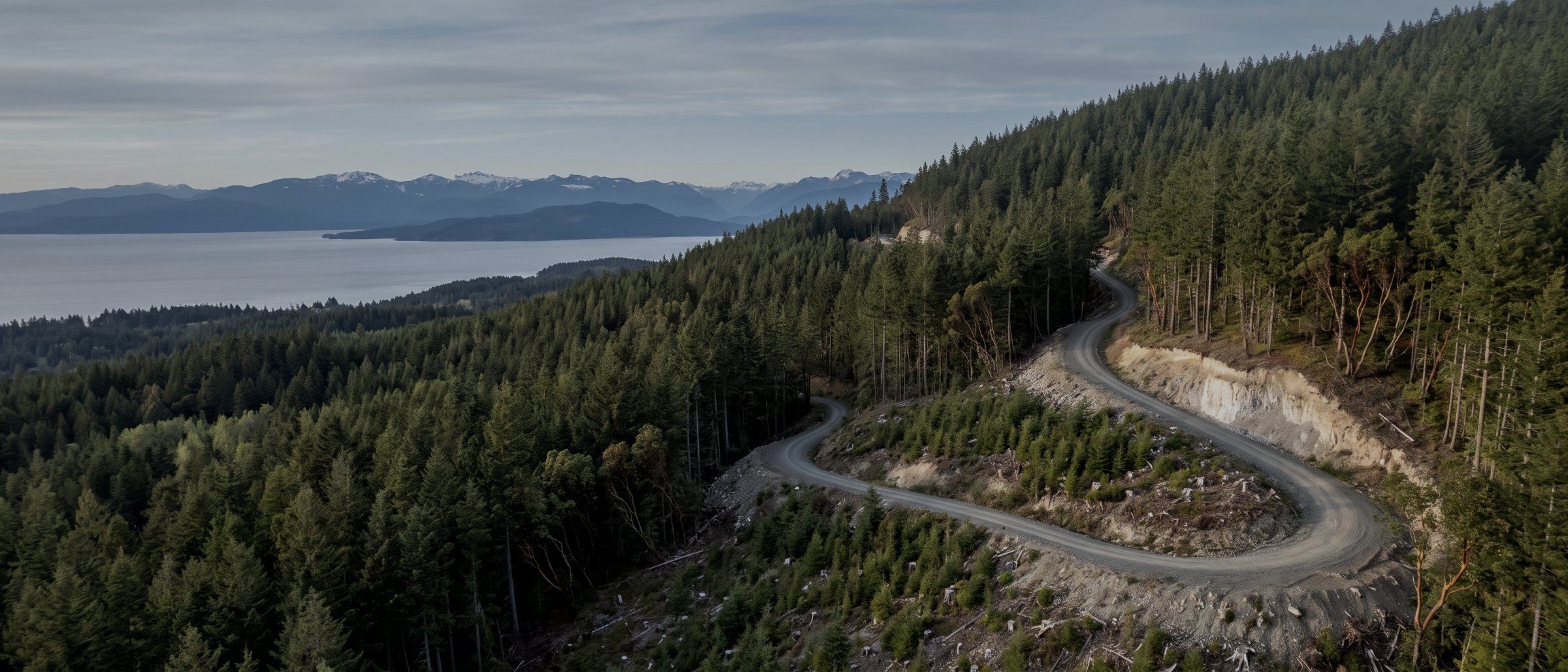
Terrain under the canopy, on Island ground.
Drone LiDAR and mapping for forestry operations across Vancouver Island. Bare-earth terrain for road layout, canopy height models for stand assessment, current orthomosaic imagery, and log yard inventory measured rather than estimated.
Why forestry is the case for LiDAR
Vancouver Island is the reason this service exists. Almost every commercially interesting piece of ground on the Island has trees on it, and trees are precisely what defeats every other aerial survey method. Satellite imagery shows you canopy. Photogrammetry shows you canopy and then invents a surface underneath it. Provincial TRIM data is decades old and gridded at a resolution that hides the features that determine where a road can actually go.
LiDAR is different in kind rather than degree. A laser pulse that finds a gap in the canopy returns from the forest floor, and a multi-return sensor records the canopy and the ground from the same pass. Classification separates them. What you get is a measured terrain model of ground nobody has seen, plus a canopy height model of the stand standing on it, from one flight.
Where the money actually is
Road layout. A road designed on real terrain rather than on interpolated contours needs less field re-staking, avoids grade problems that only appear when a machine is already on the hill, and produces a more defensible cost estimate before anything is committed. That is where a LiDAR flight repays itself, and it repays quickly.
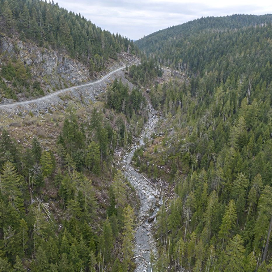
What we fly for forestry clients
Bare-earth terrain for road and landing layout
The core deliverable. Measured ground under canopy at a resolution that shows benches, draws, rock and grade breaks, so a road can be laid out on what is there rather than on a decades-old grid. Drone LiDAR survey.
Cutblock mapping and boundary layout
Current orthomosaic imagery and terrain for block layout, area calculation and planning submissions. Dated to the day rather than to whenever the last imagery flight happened.
Canopy height and stand structure
Canopy height model derived from the difference between surface and terrain, supporting stand assessment, stocking evaluation and treatment prioritisation.
Silviculture and regeneration survey support
High-resolution imagery for regeneration assessment and treatment monitoring, and repeat capture that shows response over seasons rather than at a single visit.
Drainage and terrain analysis input
Terrain from which flow accumulation and probable channels can be modelled, supplied for your forest professional to make the regulatory determinations.
Log and chip yard inventory
Pile volumes measured to a surface on a schedule that matches your reconciliation, on material that is awkward and unsafe to walk. Volumetric survey.
Flying forest ground on the Island
Canopy density
Dense second-growth returns fewer ground points than open or thinned stand. The response is to fly lower and slower rather than to accept a thin ground class and hand over a model that looks complete and is not. We tell you the ground point density achieved.
Terrain and line of sight
Steep, broken ground restricts visual line of sight and forces more launch positions per block, which affects the day rate. We scope this from the terrain rather than discovering it on site.
Weather and season
Wind and rain are the limits, not temperature. Cool overcast conditions produce better imagery than summer sun, and leaf-off improves penetration where there is a deciduous component. Fallback dates are held on scheduled work.
What a forestry job returns
| Deliverable | Format | Used for |
|---|---|---|
| Classified point cloud | LAS / LAZ | Ground, low/medium/high vegetation classes |
| Bare-earth terrain model | GeoTIFF DTM | Road grade, landing design, cut and fill |
| Canopy height model | GeoTIFF | Stand assessment, treatment prioritisation |
| Contours | DXF / SHP | Road layout drawings |
| Slope and aspect rasters | GeoTIFF | Terrain stability input, harvest system selection |
| Orthomosaic | GeoTIFF | Block layout, current site condition |
| Ground point density report | Honest statement of what the canopy allowed |
Survey deliverables are provided for information and planning purposes and are not a legal survey. Boundary, legal plan and statutory right-of-way work requires a British Columbia Land Surveyor. Stream classification, terrain stability assessment and silviculture prescriptions are professional determinations reserved to a registered forest professional or engineer; we supply the measurement they work from.
What your procurement team will ask for
We fly under a Transport Canada Advanced Operations certificate with licensed pilots, which is the level required to operate in controlled airspace and near people. Airspace authorisations are obtained before mobilisation, and the airframe carries a certified parachute for work near occupied areas.
We carry $5M in aviation liability insurance and a certificate is available on request for your project file. WorkSafeBC clearance is available, site safety orientation is completed on arrival, and we work to the host contractor's requirements.
Survey deliverables are provided for information and planning purposes and are not a legal survey. Boundary, legal plan and statutory right-of-way work requires a British Columbia Land Surveyor.
- Transport Canada Advanced Operations certificate
- Licensed pilots, current flight reviews
- $5M aviation liability insurance
- WorkSafeBC clearance letter available
- Certified parachute for operations near people
- Airspace authorisation handled by us
- Written method note on every job
Forest ground across the Island
Cowichan Valley
Private and Crown tenure, close to Victoria and quick to mobilise to.
Central Island
Working tenures and log handling facilities around Nanaimo and Ladysmith.
North Island
Larger tenures and remote blocks, quoted with mobilisation stated separately.
Forestry survey, answered
Can drone LiDAR see the ground under a coastal conifer canopy?
Yes, though how well depends on the stand. A laser pulse can pass through gaps in the canopy and return from the forest floor, and multi-return sensors capture both the canopy and the ground in a single pass. Open or recently thinned stands return plenty of ground points. Dense second-growth Douglas fir and hemlock return fewer, which means flying lower or slower rather than accepting a thin ground class. Photogrammetry cannot do this at all — a camera measures the top of the trees and interpolates a smooth, confident and entirely wrong surface beneath.
What can you produce for cutblock planning?
Bare-earth terrain for road grade and landing design, canopy height models for stand assessment, slope and aspect rasters, and orthomosaic imagery current to the day of the flight. Terrain is the one that changes the economics, because road layout designed on real ground rather than on TRIM data reduces the amount of re-staking that happens in the field.
Do you identify streams and riparian features?
We supply the terrain from which drainage can be delineated, and we can run a flow accumulation model over it to indicate probable channels. What we do not do is classify a feature as a stream for regulatory purposes — that is a professional determination and it belongs to your forest professional. The distinction matters, and any operator who blurs it is creating a problem for you.
How large a block can you fly?
A single mobilisation day typically covers up to roughly 40 hectares with LiDAR, more with photogrammetry on open ground. Larger programmes are flown across multiple days and quoted with mobilisation stated separately, which on remote tenures is often the dominant cost.
Can you work in the shoulder seasons?
Yes, and often better. Leaf-off improves canopy penetration on deciduous components, and cool overcast conditions produce more even imagery than summer sun. The constraints on this coast are wind and rain rather than temperature, and we hold fallback dates on scheduled work.
Do you measure log yard inventory?
Yes. Log and chip pile volumes measured to a surface rather than estimated, on a schedule that suits your reconciliation. It is the same flight and the same processing as aggregate stockpile work. See volumetric and stockpile survey.
Tell us about the site
Location, rough area, what the data is for and your timeline. That is usually enough to quote without a site visit, and we reply within one business day.
We supply measurement. Stream classification, terrain stability assessment and prescriptions belong to your registered forest professional, and we will not step into them.