
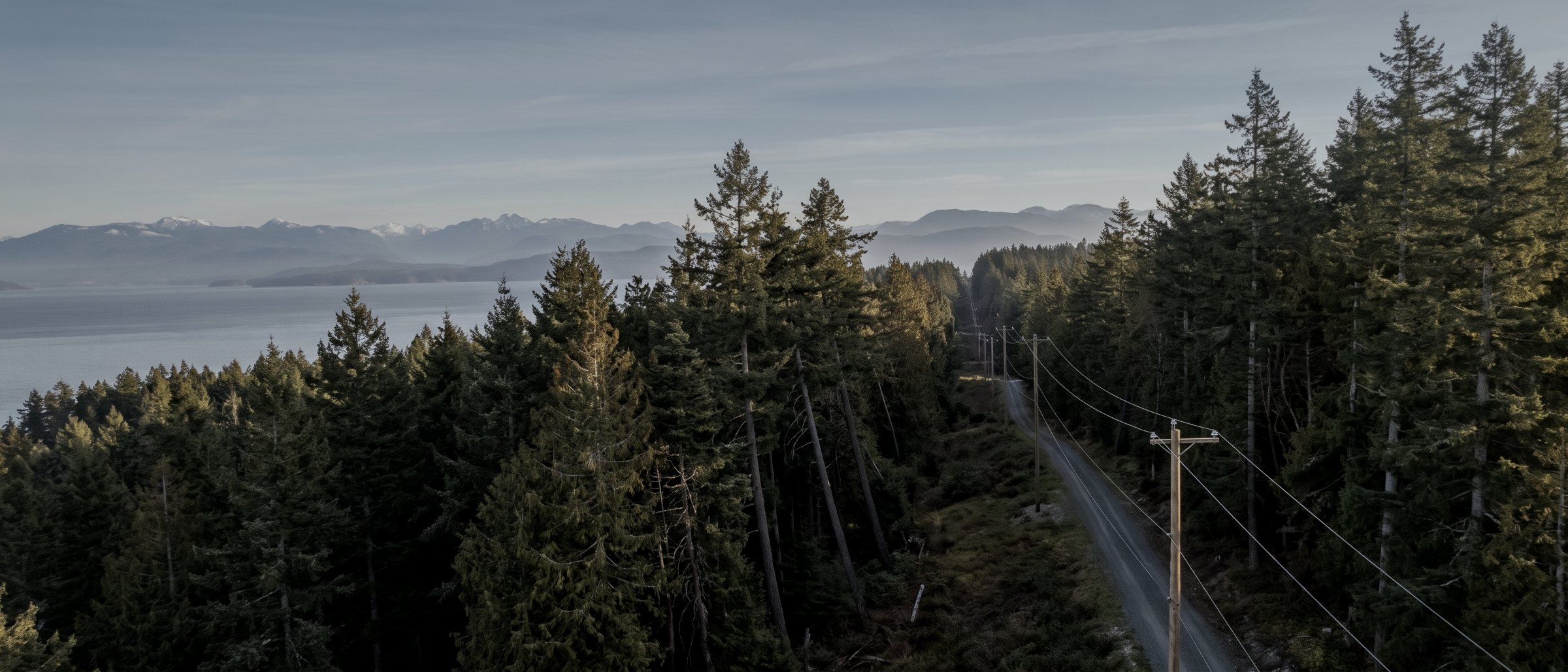
Find the defect before the outage.
Conductors, insulators, structures and the vegetation growing toward all three. Located, dated, high-resolution evidence of condition along a corridor, handed to your maintenance team in a form they can plan work from.
Why corridors suit aerial capture
A corridor is a long, thin asset that crosses ground nobody wants to walk. Patrol on foot is slow and gets you a view from below. Patrol from a helicopter is fast and expensive and gets you a view from a moving platform. A drone sits still at conductor height, holds position, and captures every structure at a resolution where a cracked insulator shed or a corroded fitting is identifiable in the frame.
The value is not the photograph. It is the fact that every structure has a photograph, taken from a known position on a known date, filed against its identifier — so that next year the same structure can be compared against itself, and a defect can be shown to have been present or absent at a point in time.
The second half of corridor work is vegetation. Clearance violations are a survey problem rather than a photography problem: you need the ground, the conductor position and the canopy in the same coordinate system, which is a LiDAR deliverable. Growth rate between captures is what turns that into a work plan rather than a snapshot.
What we fly for utility clients
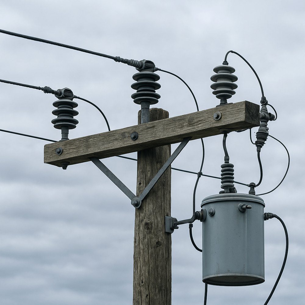
Transmission & distribution structure inspection
Every structure captured from multiple angles at a resolution where fittings, insulators, dampers, splices and conductor attachment are identifiable. Filed against your structure identifiers so the record is searchable rather than a folder of images.
Vegetation clearance survey
Conductor position, ground surface and canopy in one coordinate system from LiDAR. Clearance measured rather than estimated, encroachments located, and danger trees identified by height and lean relative to the line.
Thermal & hot-spot survey
Radiometric capture of connections, splices and substation equipment to locate the thermal anomalies that precede failure. Detail on the thermal inspection page.
Substation & yard documentation
Overhead and oblique capture of yards, bus work, transformers and access, for condition record, planning and contractor briefing without walking an energised yard.
Corridor mapping & right-of-way survey
Bare-earth terrain, centreline, access road condition and right-of-way extent along the corridor. See topographic survey for the survey method.
Storm & outage response documentation
Rapid capture of damage extent after an event, so crews are dispatched to a known condition rather than to a report.
Flying corridors on the Island
Line of sight
Visual-line-of-sight operation caps how much corridor a crew covers in a day, and we quote against that honestly rather than against what a BVLOS operation could do. For long transmission runs, expect a segmented programme.
Terrain and access
Island corridors cross steep, forested and often roadless ground. Launch points are planned from terrain and access before mobilisation, and the survey plan follows what can actually be reached.
Energised assets
We do not make contact and we do not enter energised enclosures. Standoff distances are agreed with your operations group before the flight, and the airframe carries a certified parachute for work over infrastructure.
What a corridor job returns
| Deliverable | Format | What it answers |
|---|---|---|
| Structure image set | JPG with EXIF, filed by structure ID | Condition of each structure on a date |
| Defect log | PDF / CSV | What was found, where, and how severe |
| Radiometric thermal set | R-JPEG / PDF report | Where the heat is |
| Classified point cloud | LAS / LAZ | Ground, canopy, conductor and structure |
| Clearance report | PDF / CSV | Measured clearance and encroachments |
| Corridor orthomosaic | GeoTIFF | Right-of-way condition, to scale |
| Method note | How it was flown, controlled and checked |
| Structures per day | Quoted from access and terrain |
|---|---|
| Operation type | Visual line of sight |
| Thermal | Radiometric, calibrated |
| Typical survey accuracy | 3cm horizontal, 5cm vertical |
| Standoff | Agreed with your operations group |
| Parachute | Certified, fitted |
| Turnaround | 3–5 business days |
Survey deliverables are provided for information and planning purposes and are not a legal survey. Boundary, legal plan and statutory right-of-way work requires a British Columbia Land Surveyor. We supply data and documentation; engineering and geoscience interpretation is reserved practice and belongs to a registrant of Engineers and Geoscientists BC.
What your procurement team will ask for
We fly under a Transport Canada Advanced Operations certificate with licensed pilots, which is the level required to operate in controlled airspace and near people. Airspace authorisations are obtained before mobilisation, and the airframe carries a certified parachute for work near occupied areas.
We carry $5M in aviation liability insurance and a certificate is available on request for your project file. WorkSafeBC clearance is available, site safety orientation is completed on arrival, and we work to the host contractor's requirements.
We supply inspection data and documentation. We do not issue structural condition assessments or engineering opinions — those are reserved practice in British Columbia and belong to a registrant of Engineers and Geoscientists BC.
- Transport Canada Advanced Operations certificate
- Licensed pilots, current flight reviews
- $5M aviation liability insurance
- WorkSafeBC clearance letter available
- Certified parachute for flight over infrastructure
- Standoff distances agreed before mobilisation
- Every image located and dated
Corridor inspection, answered
Do you hold BVLOS authority?
Not currently. Lower-risk beyond visual line of sight operation has been available in Canada since November 2025 through the Level 1 Complex certificate, and it is the right tool for long transmission runs — visual-line-of-sight work caps a crew at a fraction of the structures per day. We are not certified for it yet and we will not quote as though we were. Corridors are flown in visual-line-of-sight segments and priced accordingly.
Can you tell us whether a structure is safe?
No. We locate, resolve and document what is visible, and we will flag anything that looks like a defect with its position and a photograph. The judgement about condition and remaining life belongs to your engineer, and in British Columbia that judgement is reserved practice. The two workable models are that we supply data to your internal engineering group, or that we work under an engineering firm as the data provider.
How do you measure vegetation clearance?
From a classified LiDAR point cloud, where ground, vegetation, conductor and structure are separated into classes, so the clearance between a conductor and the nearest vegetation return is a measured distance rather than an interpretation of a photograph. Photogrammetry cannot do this reliably: it does not see conductors well and it maps the top of canopy rather than its structure.
Can you inspect inside a substation?
We can capture a yard from the air, including bus work, transformer tops and structures that are difficult to view from ground level, with standoff distances agreed with your operations group beforehand. We do not enter energised enclosures or make contact with any equipment.
What happens to the images afterwards?
They are delivered to you, filed against your structure identifiers, and held on our side only for the retention period you specify. We do not host inspection data as a service or run a client portal — the record lives in your asset management system, which is where an auditor will look for it.
Tell us about the site
Location, rough area, what the data has to support and your timeline. That is usually enough to quote without a site visit, and we reply within one business day.
If a corridor genuinely needs beyond visual line of sight operation to be economic, we will say so rather than quoting a programme that does not add up.