
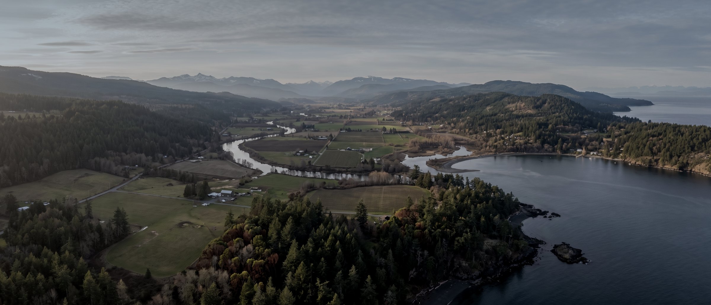
Drone survey and mapping in Duncan and the Cowichan Valley
Forestry terrain under canopy, gravel and aggregate operations, agricultural drainage and development mapping through the Cowichan Valley — an hour from base with no controlled airspace over most of it.
What we fly in Duncan & the Cowichan Valley
Drone LiDAR Survey
Bare-earth terrain under canopy, classified point clouds, contours.
View →Mapping & Photogrammetry
Orthomosaics and surface models at 3cm absolute accuracy.
View →Topographic Survey
Contours and spot elevations for design and permitting.
View →Volumetric & Stockpile
Measured quantities for inventory and earthworks.
View →Aerial Inspections
Roofs, structures and envelopes without scaffolding.
View →Construction Monitoring
Identical repeat flights, month after month.
View →Flying here, specifically
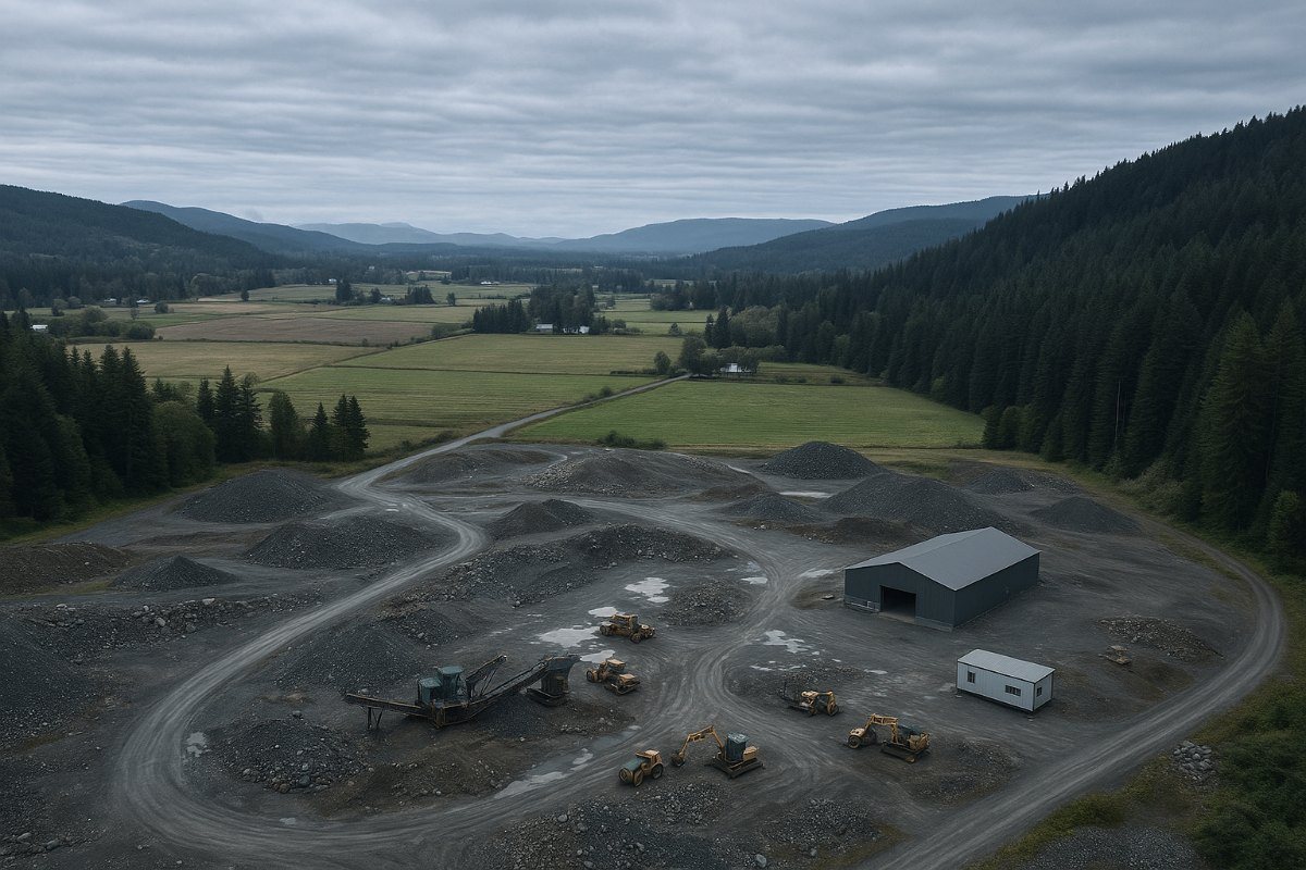
The Cowichan Valley is the closest place to Victoria where the work is genuinely rural: private and Crown forest tenure, gravel and aggregate operations along the highway corridor and through the valley, agricultural land in the flats around Duncan and Cowichan Bay, and residential development on the valley edges.
For forestry work this is prime ground and the method question is settled before we quote. Almost everything worth surveying here has canopy on it, and canopy means LiDAR rather than photogrammetry — a camera measures treetops and interpolates a plausible, wrong surface beneath. Second-growth Douglas fir and hemlock through the valley returns fewer ground points than open stand, so we fly lower and state the ground point density achieved rather than presenting a model as complete when it is thin.
Airspace over most of the valley is uncontrolled, which simplifies authorisation considerably compared to the Saanich Peninsula. The constraints here are terrain and line of sight on steep ground, and the practical difficulty of getting a vehicle to a launch position on a forest service road.
Mobilisation
About an hour from base over the Malahat. Travel quoted at cost and stated separately. Remote tenure blocks are quoted with access assessed from the terrain rather than assumed.
Duncan & the Cowichan Valley, answered
Do you fly private forest tenure in the valley?
Yes, for licensees, consultants and registered forest professionals. The core deliverable is bare-earth terrain under canopy for road and landing layout, plus canopy height models and current orthomosaic imagery from the same flight. See forestry services.
Why does the valley need LiDAR rather than photogrammetry?
Because almost everything worth surveying here has trees on it. Photogrammetry measures the top of the canopy and then interpolates a smooth surface underneath that is confidently wrong. If you need ground elevations under second-growth conifer, LiDAR is the only aerial method that measures them.
Is the airspace controlled?
Most of the valley is uncontrolled airspace, which makes authorisation simpler than on the Saanich Peninsula. We check every site rather than assuming, and terrain and line of sight are usually the bigger constraint here than permission.
Can you reach remote blocks on forest service roads?
Usually, and we assess access from the terrain at the quote stage rather than discovering the problem on the day. Steep, broken ground restricts visual line of sight and forces more launch positions per block, which affects the day rate and is better priced honestly up front.
Adjacent communities
Victoria & Saanich
Our base, an hour south over the Malahat.
Nanaimo
Industrial, port and aggregate work to the north.
Langford & Westshore
Active construction ground south of the Malahat.
What your procurement team will ask for
We fly under a Transport Canada Advanced Operations certificate with licensed pilots, which is the level required to operate in controlled airspace and near people. Airspace authorisations are obtained before mobilisation, and the airframe carries a certified parachute for work near occupied areas.
We carry $5M in aviation liability insurance and a certificate is available on request for your project file. WorkSafeBC clearance is available, site safety orientation is completed on arrival, and we work to the host contractor's requirements.
Survey deliverables are provided for information and planning purposes and are not a legal survey. Boundary, legal plan and statutory right-of-way work requires a British Columbia Land Surveyor.
- Transport Canada Advanced Operations certificate
- Licensed pilots, current flight reviews
- $5M aviation liability insurance
- WorkSafeBC clearance letter available
- Certified parachute for operations near people
- Airspace authorisation handled by us
- Written method note on every job
Tell us about the site
Location, rough area, what the data is for and your timeline. That is usually enough to quote without a site visit, and we reply within one business day.
Travel beyond the Capital Regional District is quoted at cost and stated up front, so mobilisation is never a surprise on the invoice.