
A record of what happened, not what everyone remembers.
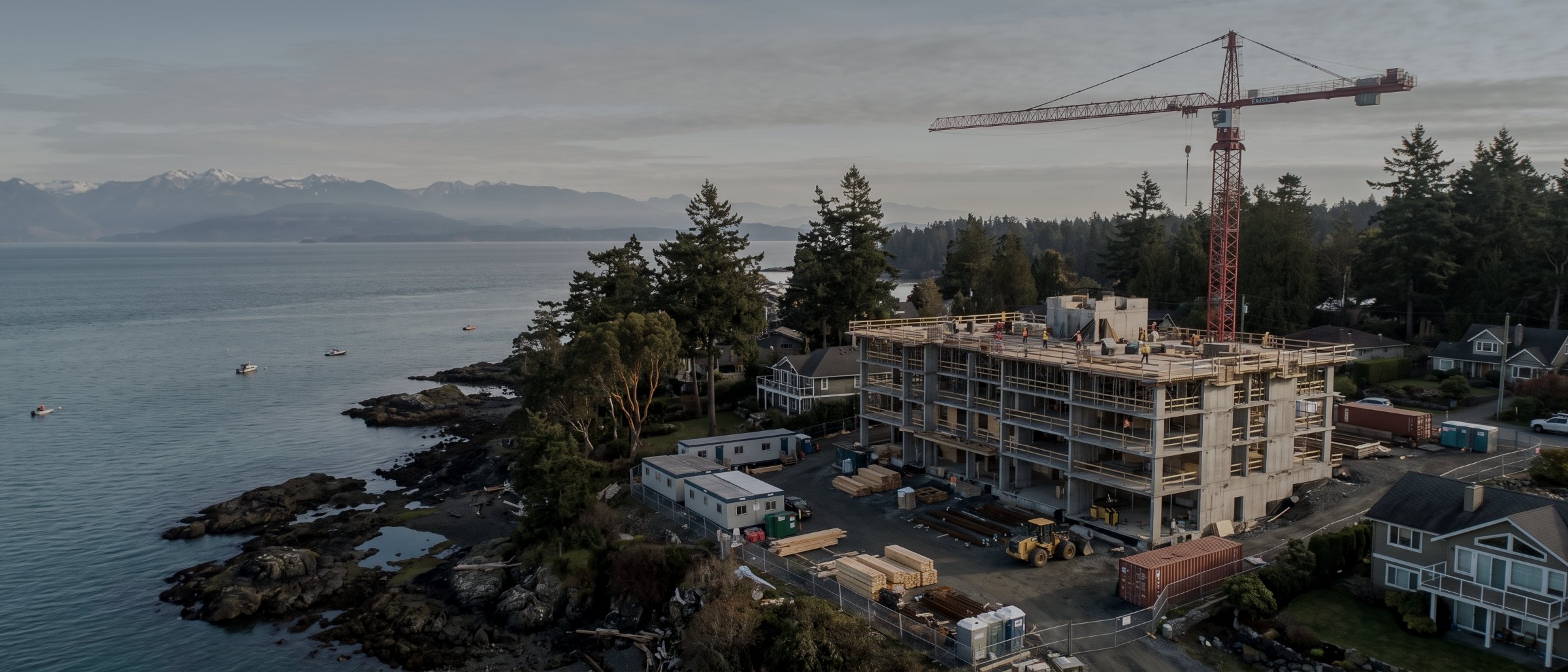
Scheduled drone progress monitoring on Vancouver Island construction sites. Identical flight paths flown month after month, so this visit compares to the last one frame for frame and surface to surface — with measured quantities, not just photographs.
What progress monitoring is
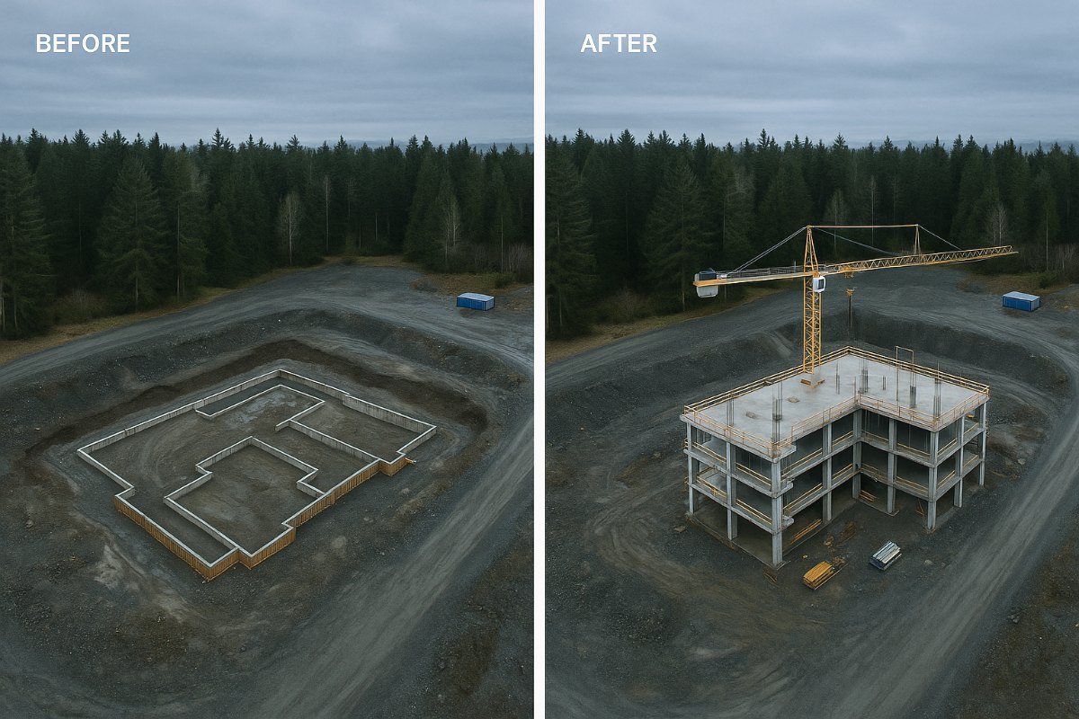
Monitoring is one flight plan, flown repeatedly. On the first visit we establish the pattern: altitude, heading, camera settings and a fixed set of oblique positions around the site. Every subsequent visit re-flies that identical pattern, which means the resulting images and surfaces are directly comparable rather than merely similar.
That comparability is the entire product. A single aerial photograph of a construction site is a nice picture. Twelve of them from the same position, a month apart, are a record — and a record is what settles an argument about when something was built, what condition the ground was in, or how much material moved between two claim periods.
The two things clients use it for
First, reporting. A monthly image set and volume figures go straight into a progress report or an owner update, and they answer questions before they are asked.
Second, and less pleasantly: evidence. Construction disputes turn on chronology, and site photographs taken on a phone by whoever happened to be there rarely establish it. A dated, positioned, systematic record does.
Why a flight instead of a site walk?
Against phone photographs
Site photographs on a phone are unsystematic by nature: different positions, different days, whatever caught someone’s eye. They cannot be overlaid, they cannot be measured, and in a dispute their provenance is arguable. They are also almost always taken from ground level, which is where the least information is.
Against a fixed site camera
A pole-mounted timelapse camera is excellent at one thing: showing one view continuously. It cannot move, cannot cover the whole site, and produces nothing measurable. On a large or spread-out project it captures the corner it happens to point at.
The two work well together — a fixed camera for continuity, a monthly flight for coverage and measurement.
Against a survey crew per claim
Bringing a crew in to measure quantities each claim period is accurate and slow. A monitoring flight produces the surface as a by-product of the visual record, so you get both from one attendance and one fee.
Where it pays for itself
Progress claims and payment certification
Measured earthworks volumes between claim periods, and a dated visual record of installed work. Turns a negotiation into an arithmetic check. Construction services.
Owner and stakeholder reporting
A monthly set that goes into a report without editing. Owners, lenders and boards read an aerial sequence considerably faster than a narrative.
Dispute and delay documentation
Chronology, established rather than argued. The record is most valuable on the projects where nobody expected to need it.
Stockpile and material drawdown
Inventory measured on the same schedule as the visual record, so material movement is tracked rather than reconstructed. See volumetric survey.
Reclamation and revegetation
Matched surveys before, during and after, demonstrating what changed. Useful in permitting and in closure reporting.
Slope and highwall movement
Surface-to-surface comparison quantifying deformation between visits, supplied for the engineer doing the assessment.
What arrives each visit
| Deliverable | Format | Notes |
|---|---|---|
| Nadir orthomosaic | GeoTIFF + JPEG | Measurable, same extents every visit |
| Fixed oblique set | JPEG | The same positions and headings every visit, for direct comparison |
| Surface model | GeoTIFF DSM | Enables volume comparison against the previous visit |
| Volume change report | PDF + CSV | Cut, fill and net movement since the last visit |
| Comparison sheet | This visit against the last, side by side, dated | |
| Cumulative archive | Indexed | Every visit retained, so any two dates can be compared later |
| Typical cadence | Monthly |
|---|---|
| Earthworks cadence | Fortnightly |
| Attendance | 2–4 hours |
| Turnaround | 48 hours |
| Weather cancellation | Rescheduled, no charge |
| Imagery ownership | Yours |
Survey deliverables are provided for information and planning purposes and are not a legal survey. Boundary, legal plan and statutory right-of-way work requires a British Columbia Land Surveyor. Volume figures are measured against a stated base surface and the method is recorded per visit.
How a monitoring program runs
Set the cadence
Matched to your claim or reporting cycle rather than to a package. Fortnightly while earth is moving, monthly through vertical construction is a common shape.
Establish the baseline
First flight sets the pattern and captures existing conditions before work starts. This visit is the one that makes every later comparison possible, so it is worth booking before mobilisation rather than after.
Authorise once
Airspace authorisation and site safety orientation completed at the start and maintained for the program, rather than renegotiated every month.
Fly the schedule
Identical pattern each visit, short attendance, minimal interruption. A fallback date is held for weather.
Deliver and compare
Imagery, surfaces and volume change within 48 hours, plus a dated comparison against the previous visit. The archive accumulates for the life of the project.
What your procurement team will ask for
We fly under a Transport Canada Advanced Operations certificate with licensed pilots, which is the level required to operate in controlled airspace and near people. Airspace authorisations are obtained before mobilisation, and the airframe carries a certified parachute for work near occupied areas.
We carry $5M in aviation liability insurance and a certificate is available on request for your project file. WorkSafeBC clearance is available, site safety orientation is completed on arrival, and we work to the host contractor's requirements.
Survey deliverables are provided for information and planning purposes and are not a legal survey. Boundary, legal plan and statutory right-of-way work requires a British Columbia Land Surveyor.
- Transport Canada Advanced Operations certificate
- Licensed pilots, current flight reviews
- $5M aviation liability insurance
- WorkSafeBC clearance letter available
- Certified parachute for operations near people
- Airspace authorisation handled by us
- Written method note on every job
Across Vancouver Island
Based in Victoria, mobilising Island-wide and to the mainland for larger programs. Travel beyond the Capital Regional District is quoted at cost and stated up front.
Victoria & Saanich
Same-week mobilisation. YYJ controlled airspace handled routinely.
Langford & Westshore
Heavy residential and commercial development.
Nanaimo & central Island
Industrial, port and aggregate operations. YCD coordination.
Duncan & Cowichan
Forestry tenures, agricultural land, gravel operations.
Courtenay & Comox
North Island forestry and development. YBL coordination.
Elsewhere in BC
Mainland and remote programs on a mobilisation basis.
Progress monitoring, answered
How often should a site be flown?
Monthly suits most vertical construction and matches the progress-claim cycle, which is where the record earns its cost. Earthworks and bulk excavation often justify fortnightly while quantities are moving fast. Long infrastructure and reclamation work is frequently quarterly. We would rather set a cadence that matches your reporting than sell you more flights than the project needs.
What makes the flights comparable?
The flight plan is saved and re-flown identically — same altitude, same heading, same camera settings, same positions for the oblique frames. That is what allows this month to be laid over last month and the difference to be genuine change rather than a different point of view. It is also why the first flight matters: it sets the pattern every subsequent visit repeats.
Can you measure quantities as well as photograph?
Yes, and on earthworks that is usually the point. Each visit produces a measured surface, so cut and fill volumes between visits are calculated rather than estimated. Those numbers support a progress claim in a way a photograph cannot. See volumetric and stockpile survey.
Do you need site access on the day?
We need a safe launch and recovery area with visual line of sight, and a safety orientation on first attendance. After that, most monitoring flights are a short attendance that does not interrupt work. We coordinate with your site supervisor on timing and exclusion zones.
What happens if the weather cancels a flight?
We reschedule at no charge, normally within the same week. On a monitoring program we build a fallback date into the schedule from the start, because a monthly record with a gap in it is considerably less useful than one without.
Who owns the imagery?
You do. Deliverables are yours to use in reporting, marketing, claims and litigation without further permission or licence fee. We ask before using any project imagery in our own portfolio, and a refusal is not a problem.
Tell us about the site
Location, rough area, what the data is for and your timeline. That is usually enough to quote without a site visit, and we reply within one business day.
Imagery and data from a monitoring program are yours to use in reporting, claims and litigation without further permission. We ask before using any project imagery ourselves.