
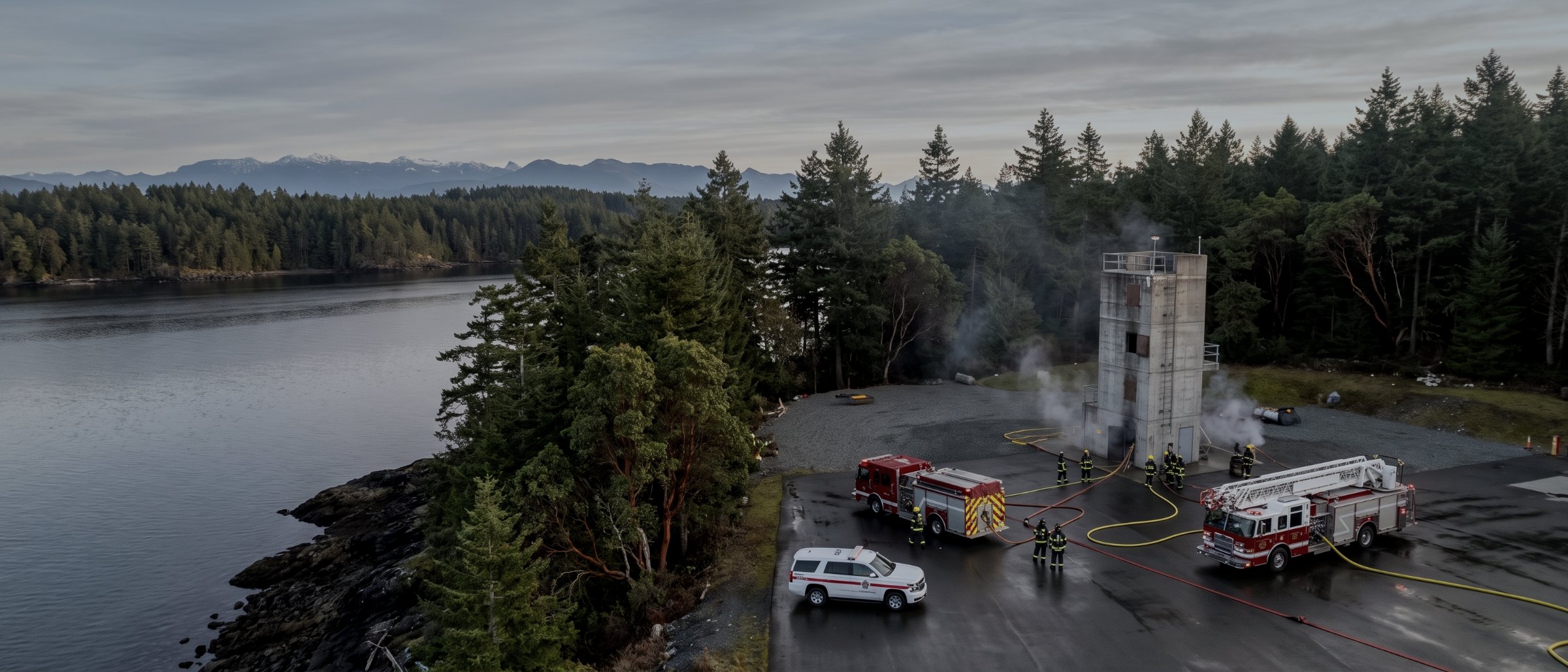
Tasked by the agency. Never self-deployed.
Aerial situational imagery, thermal detection and damage assessment mapping in support of fire, police, search and rescue and local government emergency operations across Vancouver Island — provided only at the request of the authority having jurisdiction.
How this works, and how it does not
We deploy to an incident when the responsible authority asks us to, under their incident command, on their communication protocol, and within airspace they or the air operations structure have cleared. That is the only way this service operates.
We do not self-deploy. We will not fly over an active scene at the request of a property owner, a bystander or a media outlet. An uninvited drone over an incident grounds aerial suppression aircraft, distracts the people working the scene, and in British Columbia interfering with wildfire aviation is an offence. The single most useful thing a private operator can do at an incident they were not asked to attend is stay on the ground.
Arrange it before you need it
The value here is almost entirely in preparation. An agency that already holds our certification, insurance certificate and contact details, and has agreed a tasking and radio protocol, can put an aircraft over an incident inside the hour. An agency calling a supplier cold spends that hour on paperwork. If you run an emergency programme on the Island, the conversation to have is now rather than during an event.
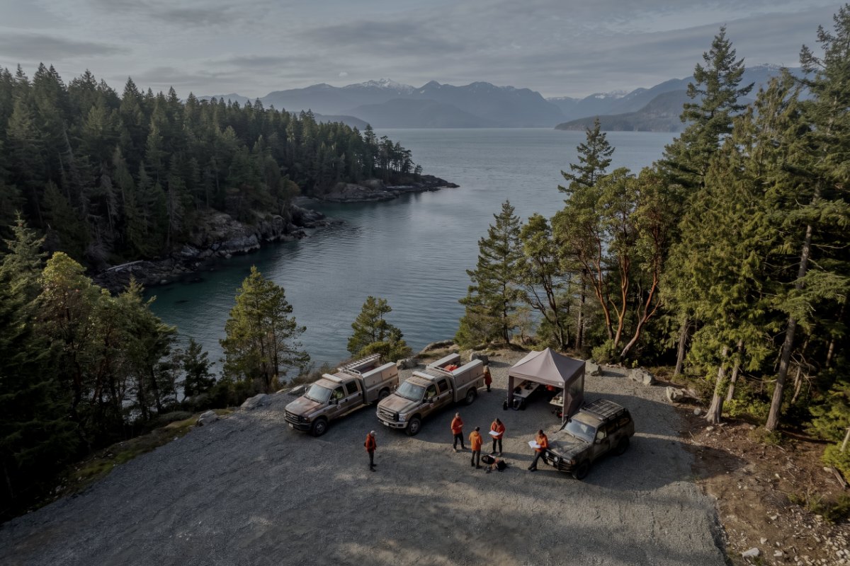
What we can put overhead
Situational overview
Real-time overhead imagery of an incident and its surroundings, so the person making decisions is looking at the scene rather than at a description of it.
Thermal detection
Hotspot identification during and after suppression, and locating people in low light, smoke-free darkness or dense cover. See thermal capability.
Damage assessment mapping
Rapid orthomosaic of an affected area for assessment, resource planning and reporting, produced within hours of the flight. See mapping.
Search support
Systematic aerial coverage of a search area under task group direction, with visual and thermal passes and a recorded coverage log.
Post-incident record
A dated, positioned record for after-action review, insurance and investigation, captured before the scene is altered.
Pre-season mapping
Baseline mapping of interface areas, access routes and water sources before a fire season, which is considerably easier to fly in advance than during.
Stated plainly
| Condition | Position |
|---|---|
| Tasking | Authority having jurisdiction only. No self-deployment, no public or media requests |
| Active aerial suppression | Grounded until deconflicted and cleared into a defined block through air operations |
| Airspace | Advanced Operations certified; authorisation via the incident structure or NAV CANADA |
| Night operations | Subject to certification limits and lighting requirements. Confirmed per tasking |
| Weather | Wind and visibility limits apply and are not exceeded on request |
| Privacy | Imagery of casualties or private interiors is not captured or is withheld from any non-agency release |
| South Island response | Hours, daylight |
|---|---|
| Certification | TC Advanced |
| Insurance | $5M aviation |
| Pre-tasking pack | Available now |
| Rates | Agreed in advance |
We support agency operations with imagery and data. We do not direct incident response, and we do not provide structural, geotechnical or safety determinations. We provide inspection data and documentation. Condition assessments, structural evaluations and geotechnical opinions are reserved practice under the Engineers and Geoscientists BC framework and are not offered; evidence is supplied for a qualified professional to interpret.
Set it up before the season
Send us your emergency programme contact and we will supply the pre-tasking pack: certification, insurance certificate, operating limitations and a one-page tasking protocol you can file now and use later.
If you are a member of the public witnessing an incident, do not fly a drone and do not ask us to. Call the appropriate emergency number and keep the airspace clear for the aircraft working it.
Emergency support, answered
Who can request a deployment?
The responsible authority having jurisdiction — a fire service, police agency, emergency operations centre, search and rescue task group or local government emergency programme. We do not self-deploy to incidents, and we will not fly over an active scene at the request of a member of the public, a property owner or a media outlet. Uninvited drones over an incident are a hazard to aircraft and an obstruction to the people working it.
How quickly can you respond?
On the south Island, typically within a few hours of a request during daylight, subject to weather, airspace and whether other aviation assets are operating. Establishing the relationship in advance matters far more than speed on the day: an agency that has our details, has seen our certification and insurance, and has agreed a communication protocol can task us immediately, where a cold call costs an hour that nobody has.
Can you fly near firefighting aircraft?
Not without explicit coordination and deconfliction through the incident air operations structure. Where aerial suppression is active the airspace belongs to those aircraft, and we will stand down until we are cleared into a defined block. This is not negotiable and any operator who suggests otherwise should not be near an incident.
What can you actually provide?
Overhead situational imagery of an incident and its surroundings, thermal imaging for hotspot detection and for locating people in low light or dense cover, mapping of an affected area for damage assessment and planning, and a dated record for post-incident review. Live imagery to an operations centre where the incident structure supports it.
Do you charge for emergency deployments?
Commercial rates apply to agency taskings and are invoiced normally, because a sustainable service is more useful to an agency than a favour. Terms and rates are agreed in advance as part of setting up the relationship, so nobody is negotiating during an incident.