
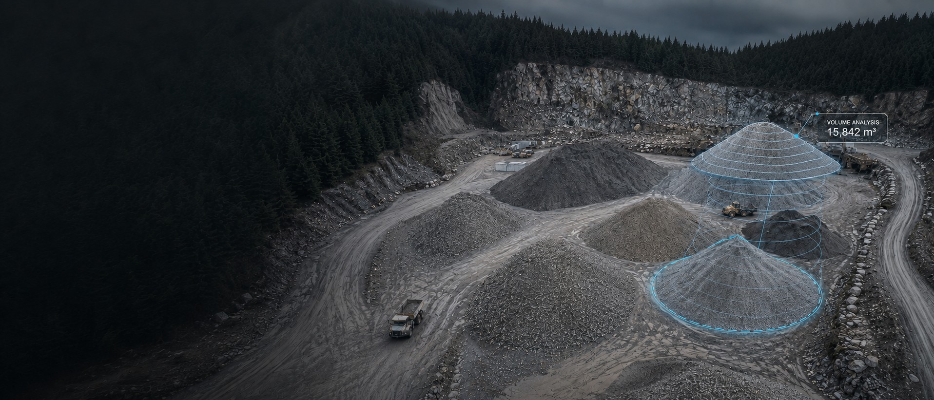
Stop counting trucks. Measure the pile.
Drone volumetric survey for aggregate yards, quarries and earthworks across Vancouver Island. Every pile measured to a surface against a stated base, typically within one to two per cent, in a report your finance team and your site supervisor can both use.
What a volumetric survey is
The aircraft flies a planned grid over the yard and produces a measured surface of everything on it. Software then computes the space between that surface and a base — the pad the material sits on, or a surveyed toe line and an interpolated floor — and reports the volume enclosed. Do that per pile and you have an inventory. Do it again next quarter and you have drawdown.
The honest limit is worth stating up front, because most operators gloss it: the accuracy of a volume depends less on the aircraft than on how well the base beneath the material is known. If the pad was measured before material was placed, the number is absolute. If the base has to be interpolated from a toe line, the number carries an offset that is consistent between visits but not zero. We tell you which basis was used.
Where the money is
Two places. Inventory reconciliation, where a measured figure replaces an estimate that has been drifting for a year. And earthworks progress claims, where cut and fill between two dated surfaces is arithmetic rather than negotiation.
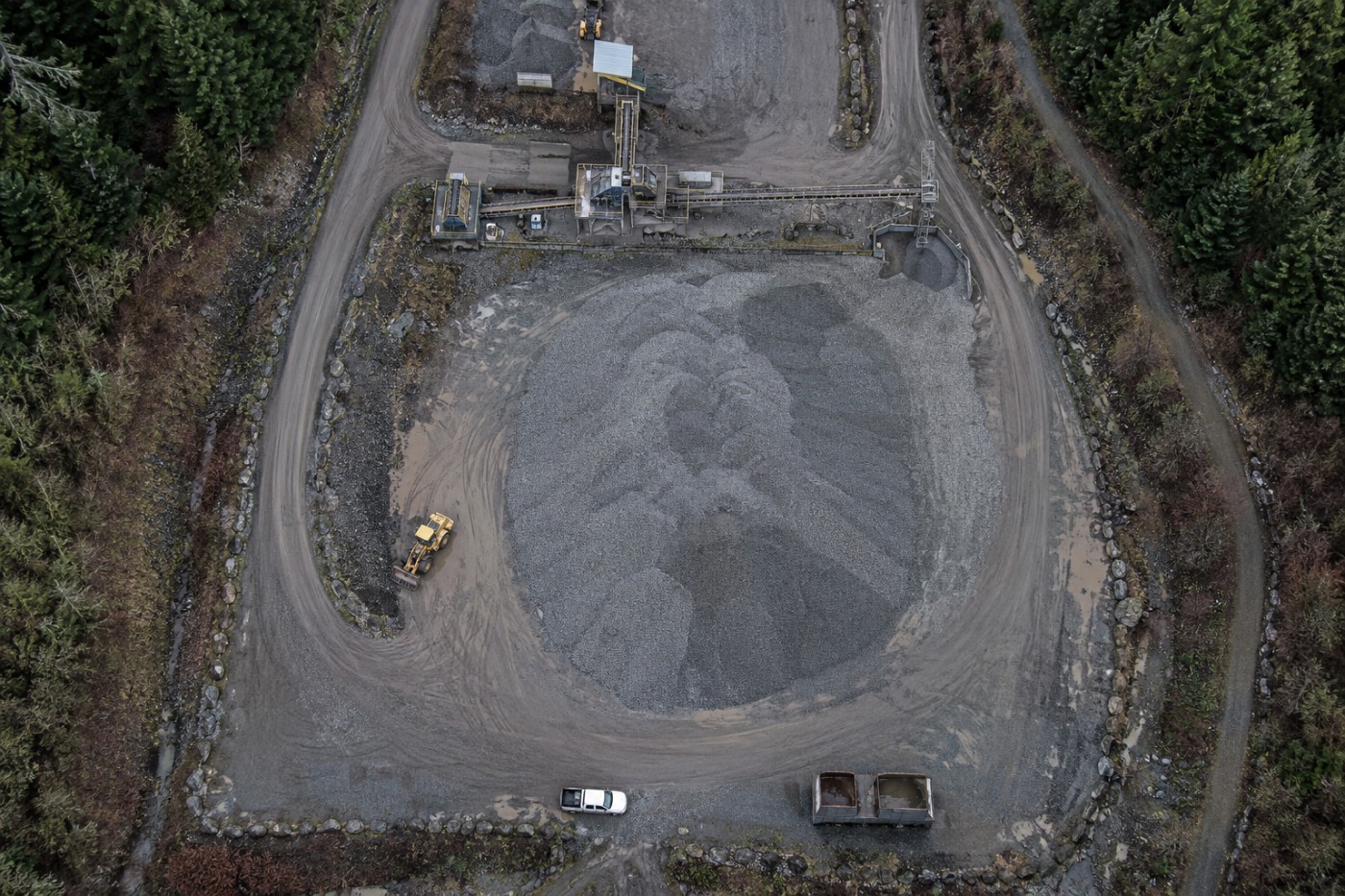
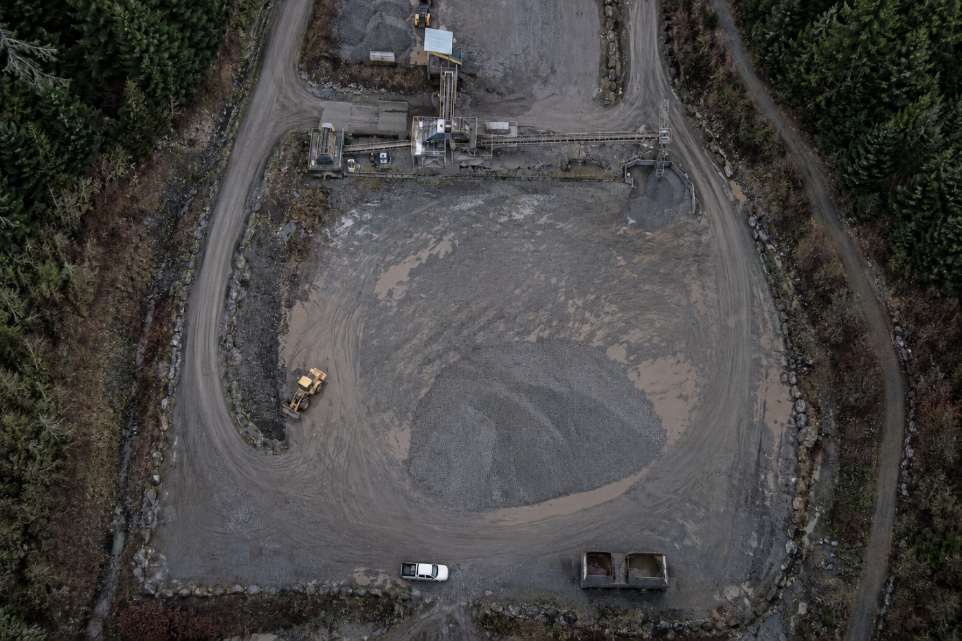
Two flights over the same pile, same altitude and heading. Drag the divider or use the arrow keys.
Why measure it from the air?
Against a truck count
A truck count measures what was moved, assuming every load was full, every load was recorded, and nothing was taken from or added to the pile by any other route. It accumulates error in one direction and never self-corrects. A measured surface is a direct observation of what is actually there.
Against a ground survey crew
Walking a pile with a GNSS rover works and is accurate, but it means a person climbing loose material, it takes a substantial part of a day per pile, and it produces a few hundred points to represent a complex shape. A flight covers every pile in the yard in under an hour with nobody on the material.
Against a visual estimate
Experienced yard managers estimate remarkably well and are still routinely out by double digits on an irregular pile. Where the figure feeds a financial reconciliation or a royalty calculation, that gap is the entire cost of the survey many times over.
Who asks for it
Aggregate and quarry inventory
Per-product volumes across a yard for reconciliation, year-end reporting and royalty calculation. Mining and aggregate services.
Earthworks progress claims
Cut and fill between dated surfaces, supporting a claim with a measurement rather than an assertion. See construction monitoring.
Landfill and cell airspace
Remaining capacity measured rather than projected, and placement rates tracked against permitted volumes.
Biomass, chip and log yards
Forest products inventory on a schedule, on piles that are awkward and unsafe to walk. Forestry services.
Topsoil, sand and salt stores
Municipal and contractor material stores, measured before and after a season rather than estimated at the end of it.
Pit and highwall survey
Extraction volumes and face position over time, delivered for the engineer responsible for the assessment.
What arrives
| Deliverable | Format | Notes |
|---|---|---|
| Volume report | PDF + CSV | Per pile or per region, with the base surface basis stated |
| Annotated orthomosaic | GeoTIFF + PDF | Each pile outlined and labelled with its figure |
| Surface model | GeoTIFF DSM | The measured surface the volumes were computed from |
| Base surface | GeoTIFF | Measured pad where available, interpolated where not. Stated either way |
| Point cloud | LAS / LAZ | Colourised, for your own analysis |
| Change report | PDF + CSV | On repeat visits: movement since the previous survey |
| Typical volume accuracy | 1–2% |
|---|---|
| Surface accuracy | 3 cm / 5 cm |
| Piles per flight | Whole yard |
| Site attendance | 1–3 hours |
| Standard turnaround | 48 hours |
| Production stoppage | Not required |
Volume accuracy depends on surface accuracy and on how the base surface is established; the basis used is stated in every report. Survey deliverables are provided for information and planning purposes and are not a legal survey. Boundary, legal plan and statutory right-of-way work requires a British Columbia Land Surveyor.
What your procurement team will ask for
We fly under a Transport Canada Advanced Operations certificate with licensed pilots, which is the level required to operate in controlled airspace and near people. Airspace authorisations are obtained before mobilisation, and the airframe carries a certified parachute for work near occupied areas.
We carry $5M in aviation liability insurance and a certificate is available on request for your project file. WorkSafeBC clearance is available, site safety orientation is completed on arrival, and we work to the host contractor's requirements.
Survey deliverables are provided for information and planning purposes and are not a legal survey. Boundary, legal plan and statutory right-of-way work requires a British Columbia Land Surveyor.
- Transport Canada Advanced Operations certificate
- Licensed pilots, current flight reviews
- $5M aviation liability insurance
- WorkSafeBC clearance letter available
- Certified parachute for operations near people
- Airspace authorisation handled by us
- Written method note on every job
Across Vancouver Island
Based in Victoria, mobilising Island-wide and to the mainland for larger programs. Travel beyond the Capital Regional District is quoted at cost and stated up front.
Victoria & Saanich
Same-week mobilisation. YYJ controlled airspace handled routinely.
Langford & Westshore
Heavy residential and commercial development.
Nanaimo & central Island
Industrial, port and aggregate operations. YCD coordination.
Duncan & Cowichan
Forestry tenures, agricultural land, gravel operations.
Courtenay & Comox
North Island forestry and development. YBL coordination.
Elsewhere in BC
Mainland and remote programs on a mobilisation basis.
Volumetric survey, answered
How accurate is a drone stockpile measurement?
Volume accuracy depends on the surface accuracy and on how well the base of the pile is defined. With ground control and a clean toe line, volume figures on a well-formed pile are typically within one to two per cent, which is materially better than a truck count and considerably better than a visual estimate. The limiting factor is almost never the aircraft — it is whether the base surface beneath the material is known or assumed, and we state which we used.
What if you cannot see the ground under the pile?
Then the base is an assumption and the volume inherits that uncertainty. There are three options: measure the pad before material is placed and use that as the base, use a surveyed toe line and an interpolated base, or accept a relative figure that tracks change accurately even if the absolute number carries an offset. For inventory reconciliation the relative figure is often sufficient. We tell you which basis was used rather than reporting a number without one.
Can you measure several piles in one flight?
Yes, and that is the normal case. A single flight over a yard covers every pile on it, and the report breaks the volume down per pile against a stated base. Adding piles to an existing flight costs almost nothing; the mobilisation is the expensive part.
How often do you need to fly for inventory?
Quarterly suits most aggregate operations, monthly where material moves quickly or where the figure feeds a financial reconciliation. Annual is common where the requirement is a year-end inventory number. Repeat flights from the same plan also give you drawdown over time, which is more useful than a single snapshot.
Does the site need to stop working?
No. We fly around plant movement rather than requiring it to halt, and we coordinate exclusion zones with your supervisor. On a busy yard we will often fly early to get a clean surface before loaders start reshaping piles, because a pile being worked while it is measured is a pile measured badly.
Tell us about the site
Location, rough area, what the data is for and your timeline. That is usually enough to quote without a site visit, and we reply within one business day.
Volume figures are reported against a stated base surface, with the basis and its limitations recorded. We will not report a number without telling you what it was measured from.