
Everyone claims survey-grade. We publish the proof.
Ground control placement, independently observed check points and RMSE accuracy reporting on every survey we fly — plus independent verification of data somebody else flew, before you sign it off or pay for it.
Why this has its own page
Almost every drone operator in British Columbia advertises survey-grade accuracy. Very few publish how they establish it, and fewer still publish a check point methodology. That gap is the whole reason this page exists: an accuracy figure with no method behind it is a claim, and a technical buyer knows the difference even if a procurement form does not ask.
Control is what turns a set of photographs into a measurement. It is unglamorous, it is most of the reason a survey day costs what it does, and it is the first thing a cheap quote quietly leaves out.
The distinction that matters
Control points go into the processing solution. The software fits the dataset to them, so of course the result agrees with them.
Check points are surveyed to the same standard and then deliberately withheld. The software never sees them. Comparing the finished surface against them is therefore an independent test rather than a self-assessment — and the residuals are what we report.
An operator quoting accuracy without withheld check points is telling you how well their software fitted itself to its own inputs. That number is always good. It is also meaningless.
What this covers
Ground control networks
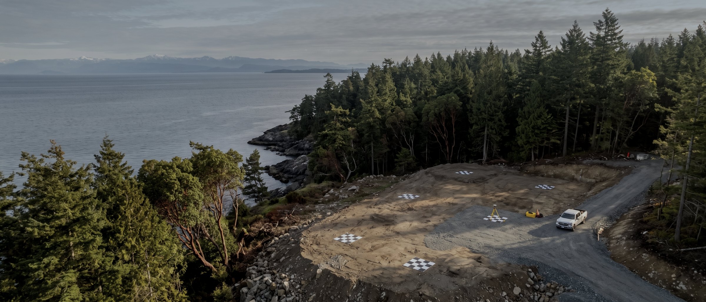
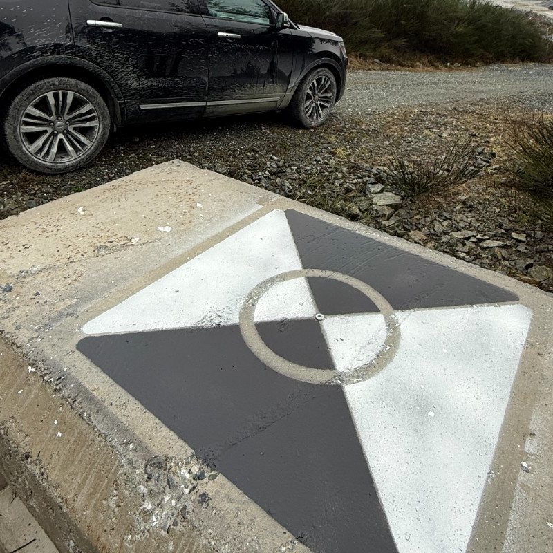
Placement and observation of control across a site, sized and distributed for the area, terrain and tolerance rather than to a fixed count. Using Propeller AeroPoints or conventional targets tied with a GNSS rover.
Independent check points
Points observed to the same standard and withheld from processing, so the accuracy report is a test. Reported per axis with residuals, not as a single unqualified figure.
RMSE accuracy reporting
A written method and accuracy note on every survey: the network used, the check points held back, the residuals achieved, and the coordinate system and datum it all sits in.
Third-party data verification
Independent assessment of a survey flown by someone else. Does it hold the accuracy claimed, is the classification sound, is the control adequate. Before you sign it off.
Datum and coordinate system control
Delivery into your project grid and vertical datum, or a tie to an existing survey monument rather than to a reference network alone.
Specification support
Writing the accuracy and acceptance criteria into a tender or an internal standard, so what you receive can actually be tested against what you asked for. See consulting.
What the accuracy note contains
| Item | Reported as | Why it is there |
|---|---|---|
| Control network | Count, layout, coordinates | Distribution determines whether accuracy holds across the whole site |
| Check points withheld | Count and positions | Named, so the test is repeatable rather than asserted |
| Horizontal RMSE | Metres, per axis | The measured figure, not the brochure figure |
| Vertical RMSE | Metres | Behaves differently from horizontal; reported separately |
| Coordinate system | Named, with epoch | A number is meaningless without the frame it sits in |
| Vertical datum | Named | CGVD2013 by default; project datum on request |
| Method & conditions | Narrative | Flight height, sensor, weather, anything that affected the result |
| Included on survey work | Yes |
|---|---|
| Check points withheld | Always |
| Reported per axis | Yes |
| Third-party verification | Quoted separately |
| Default datum | CGVD2013 |
| Default grid | NAD83(CSRS) UTM 10N |
Survey deliverables are provided for information and planning purposes and are not a legal survey. Boundary, legal plan and statutory right-of-way work requires a British Columbia Land Surveyor. Accuracy verification describes how a dataset performs against observed check points; it is not a legal survey and does not certify a boundary.
What your procurement team will ask for
We fly under a Transport Canada Advanced Operations certificate with licensed pilots, which is the level required to operate in controlled airspace and near people. Airspace authorisations are obtained before mobilisation, and the airframe carries a certified parachute for work near occupied areas.
We carry $5M in aviation liability insurance and a certificate is available on request for your project file. WorkSafeBC clearance is available, site safety orientation is completed on arrival, and we work to the host contractor's requirements.
Survey deliverables are provided for information and planning purposes and are not a legal survey. Boundary, legal plan and statutory right-of-way work requires a British Columbia Land Surveyor.
- Transport Canada Advanced Operations certificate
- Licensed pilots, current flight reviews
- $5M aviation liability insurance
- WorkSafeBC clearance letter available
- Certified parachute for operations near people
- Airspace authorisation handled by us
- Written method note on every job
Across Vancouver Island
Based in Victoria, mobilising Island-wide and to the mainland for larger programs. Travel beyond the Capital Regional District is quoted at cost and stated up front.
Victoria & Saanich
Same-week mobilisation. YYJ controlled airspace handled routinely.
Langford & Westshore
Heavy residential and commercial development.
Nanaimo & central Island
Industrial, port and aggregate operations. YCD coordination.
Duncan & Cowichan
Forestry tenures, agricultural land, gravel operations.
Courtenay & Comox
North Island forestry and development. YBL coordination.
Elsewhere in BC
Mainland and remote programs on a mobilisation basis.
Accuracy, answered
What is a ground control point?
A physical, precisely surveyed marker on the ground that appears in the aerial imagery. Because its true coordinates are known, the processing software can tie the whole dataset to the real world rather than to the aircraft’s own idea of where it was. Without them a survey is internally consistent but can sit metres from its true position, and nothing in the output will tell you that.
What is the difference between a control point and a check point?
This is the distinction that separates a verified survey from an asserted one. Control points are fed into the processing solution and the software fits the data to them. Check points are surveyed to the same standard and then deliberately withheld. Because the software never saw them, comparing the finished surface against them is an independent test. Quoting an accuracy figure without withheld check points is quoting how well software fitted itself to its own inputs.
What is RMSE and why does it appear on your reports?
Root mean square error, the standard way of expressing how far a surveyed surface sits from known truth across a set of check points. It is reported per axis — horizontal and vertical separately — because they behave differently. A single unqualified "accuracy" number with no method behind it is marketing; an RMSE against named withheld check points is a measurement.
Can you verify a survey somebody else flew?
Yes, and it is one of the more useful things we do. If you have been handed a point cloud or a surface and have no way to judge it, we can survey independent check points on the site and report how the data actually performs against them. Owners and engineers commission this before signing off a deliverable or paying for it.
How many control points does a site need?
It depends on area, terrain and the accuracy required, and distribution matters more than count. Points concentrated in the middle of a site produce a survey that holds accuracy in the middle and drifts at the edges. We size and lay out the network for the job and record what was used in the delivery note, rather than applying a fixed number.
Is this an extra cost or part of the survey?
Control is included on any job we quote as survey-grade — it is not an upsell, because without it the accuracy claim would be unsupportable. What is quoted separately is verification of third-party data, and denser networks where a project specifies tighter tolerances than our standard workflow.
Tell us about the site
Location, rough area, what the data is for and your timeline. That is usually enough to quote without a site visit, and our team typically replies within one business day.
Accuracy is reported as measured against withheld check points, with the method recorded. We will not quote a figure we cannot demonstrate.